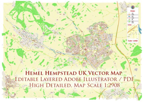
Hemel Hempstead is a town in Hertfordshire, England. Here is a general overview of the principal transportation systems in Hemel Hempstead:
- Roads:
- Motorways: Hemel Hempstead is well-connected by road, with the M1 motorway passing to the east of the town. The M25 motorway, a major orbital route around London, is also easily accessible.
- A41 Dual Carriageway: The A41 dual carriageway runs through Hemel Hempstead, providing a key north-south route.
- Public Transportation:
- Rail Services: Hemel Hempstead has a railway station, offering direct services to London Euston, Milton Keynes, and other locations. Frequent trains connect the town to central London in under 30 minutes.
- Bus Services: The town is served by local bus services that connect various neighborhoods and nearby towns. Bus routes are often operated by different companies.
- Cycling and Walking:
- Cycle Paths and Routes: Hemel Hempstead has a network of cycle paths and routes, making it accessible for cyclists. Efforts may have been made to promote cycling as an environmentally friendly mode of transportation.
- Pedestrian Facilities: The town center and various residential areas likely have pedestrian-friendly zones and sidewalks.
- Airports:
- Proximity to Airports: Hemel Hempstead is within reasonable proximity to several airports, including London Luton Airport and London Heathrow Airport. These airports provide both domestic and international flights.
- Car Parking and Park-and-Ride:
- Parking Facilities: There are likely parking facilities in and around the town center, including street parking and car parks.
- Park-and-Ride: Some areas may have park-and-ride facilities, allowing commuters to park their cars and use public transportation for the rest of their journey.
- Transportation Planning:
- Local Authorities: Transportation planning and infrastructure development are typically overseen by local authorities and councils.
- Transportation Projects: There may be ongoing or completed transportation projects aimed at improving connectivity and reducing congestion.
For the most up-to-date and specific information, it is recommended to check with local transportation authorities, the town council, or official government websites. Transportation systems and infrastructure can evolve, and new developments may have occurred since my last update.


 Author: Kirill Shrayber, Ph.D. FRGS