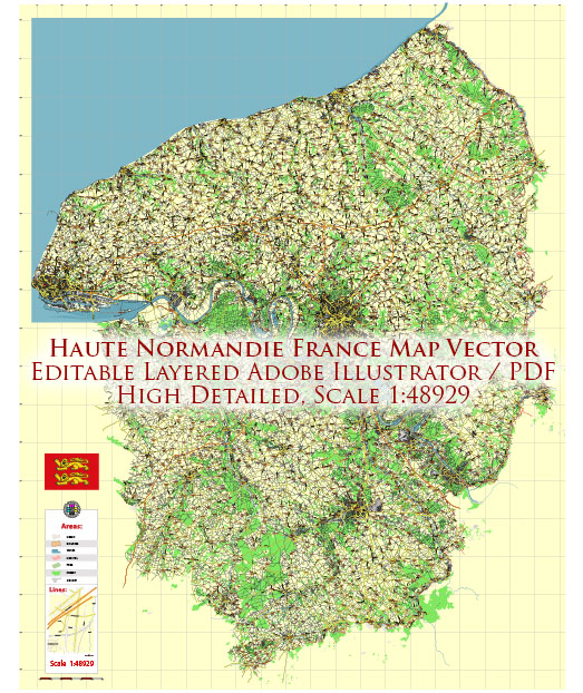
Haute-Normandie was a former administrative region in northern France.
The principal transportation systems in the Haute-Normandie region would typically include:
- Road Network: Haute-Normandie is well-connected by road networks, with major highways and roads linking cities and towns. This includes national roads and autoroutes, facilitating the movement of both people and goods.
- Rail Transport: The region is likely to have a comprehensive rail network, with train services connecting major cities and towns. High-speed and regional trains may be available, providing efficient transportation within the region and to other parts of France.
- Air Transport: Haute-Normandie might have one or more airports providing domestic and international flights. Rouen, for example, had an airport that served the region. Major airports in nearby regions, such as Paris Charles de Gaulle Airport, could also be important for air travel.
- Ports and Waterways: Given its coastal location along the English Channel, Haute-Normandie may have ports and waterways supporting maritime transportation. Ports like Le Havre are crucial for trade and cargo transport.
- Public Transportation: Within cities and towns, there would be public transportation options such as buses or trams to facilitate local commuting. Larger cities might have a more developed public transportation system.
- Bicycle Paths: France, in general, has been investing in bicycle infrastructure. Haute-Normandie may have dedicated bicycle paths and lanes to encourage eco-friendly commuting.
Remember that the specific details of the transportation system may have evolved, and it’s advisable to check more recent sources or local authorities for the latest information.


 Author: Kirill Shrayber, Ph.D. FRGS