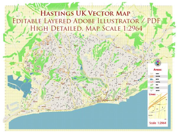
Hastings is a town on the south coast of England. A general overview of what you might find in a town’s transportation system:
- Roads and Highways:
- Hastings is likely to have a network of roads and highways connecting it to other towns and cities in the region.
- The town center may have a combination of main roads and smaller streets.
- Public Transportation:
- Buses: Hastings likely has a bus network providing public transportation within the town and possibly connecting it to nearby areas.
- Trains: Depending on the size of the town, there may be a railway station offering train services to other parts of the country.
- Cycling and Walking:
- Many towns promote cycling and walking as sustainable and healthy modes of transportation. There may be designated bike lanes and pedestrian-friendly areas.
- Taxis and Ride-Sharing:
- Taxis and ride-sharing services could be available for convenient point-to-point transportation.
- Parking Facilities:
- The town is likely to have parking facilities, including street parking and parking lots, to accommodate both residents and visitors.
- Air Transportation:
- Hastings itself may not have an airport, but there are likely to be airports in nearby cities for air travel.
- Ports and Water Transportation:
- If located near the coast, Hastings may have ports or marinas for water transportation, though this might be more relevant for larger coastal cities.
- Traffic Management:
- Traffic lights, signage, and other traffic management systems are likely in place to ensure the smooth flow of vehicles.
For the most up-to-date and specific information on Hastings’ transportation system, including any recent changes or developments, it’s recommended to check with local authorities, transportation agencies, or official town websites.


 Author: Kirill Shrayber, Ph.D. FRGS