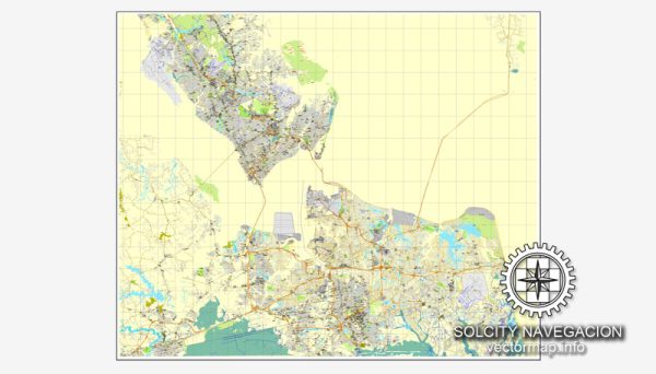
Hampton Roads, located in southeastern Virginia, is a metropolitan region known for its significant military presence, diverse communities, and bustling port activity. The area encompasses several cities and counties, and its principal roads play a crucial role in connecting the various localities. Here are some of the major roads and highways in the Hampton Roads region:
- Interstate 64 (I-64): I-64 is a major east-west interstate highway that runs through the heart of Hampton Roads. It connects the cities of Hampton, Newport News, Norfolk, and Virginia Beach. The Hampton Roads Bridge-Tunnel (HRBT) and the Monitor-Merrimac Memorial Bridge-Tunnel (MMMBT) are two significant tunnel structures along I-64.
- Interstate 264 (I-264): I-264 is a highway that connects the cities of Portsmouth, Norfolk, and Virginia Beach. It serves as a primary route for east-west travel within the Southside region of Hampton Roads.
- Interstate 464 (I-464): I-464 is a short spur route that connects I-64 in Chesapeake to the downtown area of Norfolk. It provides a direct route for commuters traveling between these two cities.
- U.S. Route 13 (US-13): US-13 is a north-south highway that runs through the Hampton Roads area, passing through cities like Norfolk and Chesapeake. It is a significant route for local and regional traffic.
- U.S. Route 58 (US-58): US-58 is an east-west highway that passes through Suffolk and serves as a major route connecting the Hampton Roads region to points west in Virginia.
- U.S. Route 17 (US-17): US-17 is a north-south highway that passes through the Hampton Roads region, connecting cities like Portsmouth, Suffolk, and Chesapeake.
- Virginia Beach Expressway (Virginia Beach-Norfolk Expressway): Also known as the “Norfolk Expressway” or “I-264 Downtown Tunnel,” this expressway connects Norfolk and Virginia Beach, providing a direct route for commuters and travelers between these two cities.
- Hampton Roads Beltway (I-64/I-664): The Hampton Roads Beltway is a combination of I-64 and I-664, forming a loop around the eastern and southern parts of the region. It provides a connection between the Peninsula and the Southside.
- Chesapeake Expressway: This toll road provides a fast connection between the city of Chesapeake and the city of Norfolk, bypassing some of the congested surface streets.
These roads, highways, and expressways collectively form the transportation backbone of the Hampton Roads region, facilitating the movement of people and goods within and beyond the area. Keep in mind that transportation infrastructure may evolve, so it’s always a good idea to check for the latest updates and changes to the road network.


 Author: Kirill Shrayber, Ph.D.