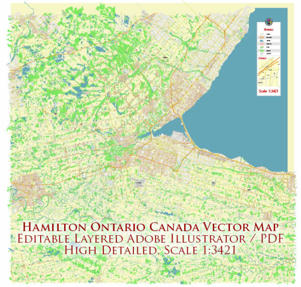
Hamilton, Ontario, Canada, is a city with a network of streets and roads that facilitate transportation throughout the area. Here is a general overview of some principal streets and roads in Hamilton:
- Main Street: This is one of the major east-west arteries in Hamilton, running through the downtown core. It connects various neighborhoods and commercial areas.
- King Street: Parallel to Main Street, King Street is another important east-west route. It also runs through the downtown area and serves as a key corridor for businesses and shops.
- Queenston Road: Running east-west, Queenston Road is an essential route connecting the east end of Hamilton to the downtown area. It passes through various residential and commercial neighborhoods.
- Upper James Street: This north-south route is significant for both commercial and residential purposes. It provides access to the Hamilton International Airport and intersects with the Lincoln M. Alexander Parkway.
- Upper Wentworth Street: Another north-south road, Upper Wentworth Street, is a major route connecting the downtown area with the mountain neighborhoods. It intersects with the Lincoln M. Alexander Parkway as well.
- Stone Church Road: This east-west road runs through the city, connecting various neighborhoods and commercial areas.
- Mohawk Road: Running east-west, Mohawk Road is a major road that passes through the mountainous area of Hamilton. It provides access to residential neighborhoods and institutions like Mohawk College.
- Lincoln M. Alexander Parkway: This is an important expressway in Hamilton, providing a faster route for east-west travel across the city. It connects with several major north-south routes.
- Red Hill Valley Parkway: Another key expressway, the Red Hill Valley Parkway, provides a north-south route, connecting the QEW (Queen Elizabeth Way) to the Lincoln M. Alexander Parkway.
- Burlington Street: Located in the north part of the city, Burlington Street is an east-west route that runs through industrial areas and provides access to the waterfront.
These are just some of the principal streets and roads in Hamilton. The city’s road network is comprehensive, and there are many other local streets and routes that make up the transportation infrastructure. It’s advisable to use real-time maps or GPS navigation for the latest information on road conditions and directions.


 Author: Kirill Shrayber, Ph.D. FRGS