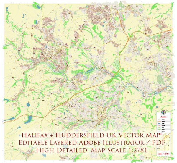
Halifax and Huddersfield are neighboring towns in West Yorkshire, United Kingdom, each with its own distinct streets and roads. Here’s a brief overview of some principal streets and roads in both Halifax and Huddersfield:
Halifax:
- Commercial Street: A central shopping street in Halifax, known for its shops, cafes, and restaurants.
- Southgate: Another key shopping area with a mix of retail outlets and businesses.
- Piece Hall Yard: Adjacent to the Piece Hall, this area features historic architecture and often hosts events.
- Horton Street: Located near the Halifax train station, it’s a thoroughfare with various amenities.
- Charlestown Road: Connects various neighborhoods and features residential and commercial properties.
- Burdock Way: A major road providing access to the town center and connecting with other parts of Halifax.
- Skircoat Road: Runs through the Skircoat Green area and has a mix of residential and commercial properties.
Huddersfield:
- John William Street: A key street in Huddersfield, featuring shops, restaurants, and businesses.
- New Street: Connects the town center and is home to various shops and services.
- King Street: A historic street with a mix of architecture, shopping, and dining options.
- Ramsden Street: Features the Kingsgate Shopping Centre and is a busy area in the town center.
- Westgate: A major road running through Huddersfield, known for its shops and restaurants.
- Wakefield Road: Connects Huddersfield to nearby areas and has a mix of residential and commercial properties.
- Firth Street: Home to the University of Huddersfield, it’s an important street for students and academic activities.
These descriptions provide a snapshot of the principal streets and roads in Halifax and Huddersfield. Keep in mind that these towns have many more streets and roads, each contributing to the overall character and functionality of the respective communities.


 Author: Kirill Shrayber, Ph.D. FRGS