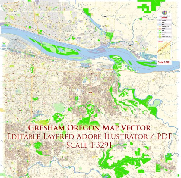
Principal transportation system in Gresham, Oregon, a general overview of what transportation infrastructure might include in a typical city.
- Roads and Highways:
- Gresham is likely to have a network of roads and highways connecting it to neighboring cities and regions.
- Major highways or interstates passing through or near Gresham might facilitate regional and interstate travel.
- Public Transit:
- Public transportation services, such as buses or light rail, may be available to provide convenient and affordable options for commuting within the city.
- Airports:
- Gresham itself might not have a major airport, but there could be airports in nearby cities providing air travel options.
- Biking and Walking Paths:
- Efforts may be made to promote alternative transportation methods, such as biking and walking, with dedicated paths and sidewalks.
- Rail Transportation:
- Depending on the region, there might be railway connections for both freight and passenger transportation.
- Ports and Waterways:
- If applicable, Gresham may have access to ports or waterways, facilitating the transportation of goods.
- Traffic Management:
- Systems for traffic control and management, including traffic signals, signs, and possibly smart transportation technologies.
It’s recommended to check with local government sources, transportation departments, or official city websites for the most accurate and current information on Gresham’s transportation system.


 Author: Kirill Shrayber, Ph.D. FRGS