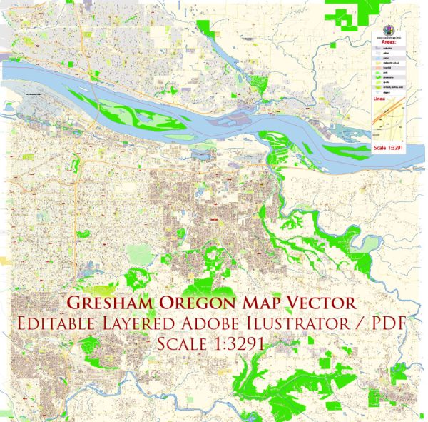
Principal street and road in Gresham, Oregon, a general overview of some significant streets and roads in the city based on historical information.
- Burnside Street: This is a major east-west thoroughfare running through Gresham, connecting the city with Portland.
- Powell Boulevard (Highway 26): Powell Boulevard is another important east-west route that passes through Gresham, providing access to various neighborhoods and commercial areas.
- Division Street: Running east-west, Division Street is another key road that intersects with several other major streets and provides access to different parts of Gresham.
- Stark Street: Stark Street is a significant road in Gresham, known for its commercial establishments and connections to various neighborhoods.
- Halsey Street: Halsey Street is another east-west street in Gresham, featuring shopping centers, businesses, and residential areas.
- Gresham-Fairview Trail: This is a multi-use trail that provides a pathway for pedestrians and cyclists, connecting different parts of Gresham.
- 223rd Avenue: Running north-south, 223rd Avenue is one of the streets that connects different neighborhoods in Gresham.
- Kane Drive: This street runs through the eastern part of Gresham, providing access to residential areas and local parks.
- Eastman Parkway: Located in the northern part of Gresham, Eastman Parkway is an important road that connects with other streets, providing access to various amenities.
- Roberts Avenue: Running north-south, Roberts Avenue is another street that intersects with several major roads in Gresham.
Please note that these are just some examples, and the road network in Gresham is more extensive. If you need detailed and up-to-date information, consider checking with local maps, city planning departments, or online mapping services for the latest details on streets and roads in Gresham, Oregon.


 Author: Kirill Shrayber, Ph.D. FRGS