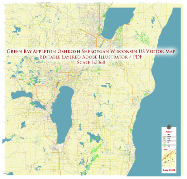
Green Bay and Sheboygan are cities in the state of Wisconsin, United States, each with its own transportation systems. Here’s a general overview of the transportation systems in Green Bay and Sheboygan:
Green Bay:
- Road Transportation:
- Green Bay is well-connected by a network of roads and highways. Interstate 43 and State Highways 29 and 172 are important routes in the area.
- Public transportation within Green Bay is primarily served by Green Bay Metro, which operates bus services in and around the city.
- Air Transportation:
- Austin Straubel International Airport (GRB) is the main airport serving Green Bay. It provides domestic flights and plays a crucial role in connecting the city to other parts of the country.
- Rail Transportation:
- Green Bay has a history of being a rail hub, but passenger rail service is limited. Freight railroads, however, play a role in transporting goods.
- Port and Water Transportation:
- The Port of Green Bay, located on the western shore of Lake Michigan, serves as an important shipping hub for the region. It facilitates the transportation of goods via the Great Lakes.
Sheboygan:
- Road Transportation:
- Sheboygan is accessible via Interstate 43 and other state highways. The city has a well-developed road network to facilitate local and regional travel.
- Public Transportation:
- Sheboygan Transit System operates bus services within the city, providing public transportation options for residents.
- Air Transportation:
- Sheboygan County Memorial Airport (SBM) serves the region. While it primarily caters to general aviation, it contributes to local air transportation.
- Port and Water Transportation:
- Sheboygan has a harbor along Lake Michigan, which historically played a role in shipping and transportation. Today, the harbor is used for recreational boating and some commercial activities.
Both Green Bay and Sheboygan are part of Wisconsin’s overall transportation infrastructure, contributing to the economic development and connectivity of the region.


 Author: Kirill Shrayber, Ph.D.