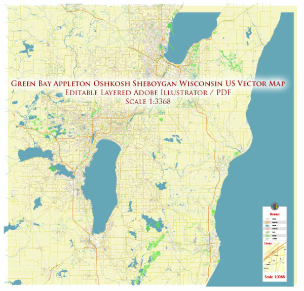
Green Bay and Sheboygan are two cities in Wisconsin, USA, each with its own unique layout of principal streets and roads.
Green Bay: Green Bay is a city located at the head of Green Bay, a sub-basin of Lake Michigan. Here are some principal streets and roads in Green Bay:
- Main Street: Main Street is a central thoroughfare in Green Bay, hosting various businesses, shops, and restaurants.
- Oneida Street: This street runs north-south and is a major commercial and retail corridor in the city.
- Lombardi Avenue: Named after the legendary Green Bay Packers coach Vince Lombardi, this avenue is significant for sports enthusiasts as it leads to Lambeau Field, the home of the Green Bay Packers.
- Mason Street: Mason Street is another important east-west road in Green Bay, featuring a mix of residential and commercial properties.
- Ashland Avenue: This avenue is a key north-south route, providing access to shopping centers, schools, and neighborhoods.
- Highway 41/141: This highway is a major transportation route, connecting Green Bay to other cities in Wisconsin.
Sheboygan: Sheboygan is located on the western shore of Lake Michigan. The city has a well-planned road system, and some principal streets and roads include:
- Erie Avenue: This is a main east-west artery in Sheboygan, hosting various businesses and connecting different parts of the city.
- Washington Avenue: Running north-south, Washington Avenue is a significant route that passes through both residential and commercial areas.
- Kohler Memorial Drive: This road connects Sheboygan to the nearby village of Kohler and is named after the prominent Kohler Company, known for its plumbing products.
- Taylor Drive: Taylor Drive is another major north-south road in Sheboygan, providing access to neighborhoods, schools, and parks.
- Highway 23: This highway runs east-west and is an important route for regional transportation, connecting Sheboygan to other cities in Wisconsin.
It’s important to note that the road systems in both Green Bay and Sheboygan are subject to changes and expansions, so it’s advisable to check local maps or navigation systems for the most up-to-date information.


 Author: Kirill Shrayber, Ph.D. FRGS