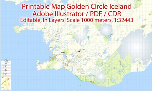
The transportation system in the Golden Circle region of Iceland primarily relies on roads, buses, and private vehicles. The Golden Circle is a popular tourist route that covers approximately 300 kilometers in a circular path, passing through some of Iceland’s most iconic natural wonders. Here is a description of the principal transportation systems in the Golden Circle:
- Roads:
- The Golden Circle is accessible by well-maintained roads that connect the major attractions in the region. The main route includes the Þingvallavegur (Route 36), which leads to Þingvellir National Park, the Geysir Hot Springs Area, and Gullfoss waterfall.
- Buses:
- Several tour operators and bus companies offer guided tours to the Golden Circle from Reykjavik and other major towns in Iceland. These tours typically cover the key attractions and provide information about the geological and historical significance of each site.
- Car Rentals:
- Many visitors opt to rent cars to explore the Golden Circle at their own pace. Reykjavik and Keflavik International Airport are the main hubs for car rentals. The well-maintained roads make it convenient for tourists to drive to each attraction.
- Private Vehicles:
- Private vehicles, including cars, camper vans, and motorhomes, are commonly used by tourists exploring the Golden Circle. This provides flexibility in terms of timing and allows visitors to deviate from the main route to explore off-the-beaten-path locations.
- Tour Packages:
- Various tour packages are available, offering different experiences such as adventure tours, luxury tours, and photography tours. These packages may include transportation, guided tours, and sometimes meals.
- Cycling:
- In the summer months, some adventurous travelers choose to explore the Golden Circle by bicycle. The relatively short distance between attractions makes it feasible for cyclists, and they can enjoy the stunning landscapes along the way.
It’s important to note that the specifics of transportation options and infrastructure can change over time, so it’s advisable to check for the latest information and updates from reliable sources or local authorities. Additionally, the popularity of the Golden Circle means that it can get crowded during peak tourist seasons, so planning ahead is recommended.


 Author: Kirill Shrayber, Ph.D.