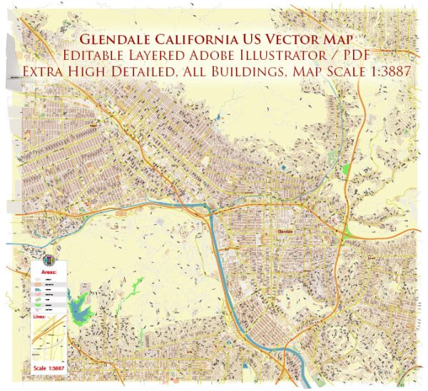
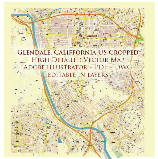
A general description of some principal streets and roads in Glendale, California.
- Brand Boulevard:
- Brand Boulevard is one of the main thoroughfares in Glendale, featuring a mix of commercial, retail, and dining establishments.
- The Americana at Brand, a popular shopping and entertainment complex, is located along Brand Boulevard.
- Glendale Avenue:
- Glendale Avenue runs through the heart of Glendale, providing access to various neighborhoods, parks, and community facilities.
- Colorado Street:
- Colorado Street is a significant east-west corridor in Glendale, connecting the city with neighboring areas.
- The historic Colorado Street Bridge, also known as the “Suicide Bridge,” spans the Arroyo Seco and is a notable landmark.
- Glenoaks Boulevard:
- Glenoaks Boulevard is another major north-south artery in Glendale, passing through residential and commercial areas.
- Pacific Avenue:
- Pacific Avenue is a street that intersects with other key roads and provides access to various local businesses and residential neighborhoods.
- San Fernando Road:
- San Fernando Road is a major thoroughfare that passes through Glendale, connecting the city to nearby communities and offering commercial and industrial areas.
- Freeways:
- Glendale is well-connected to the larger Los Angeles area via several freeways, including the Ventura Freeway (CA-134) and the Golden State Freeway (I-5).
These are just a few examples, and there are many other streets, avenues, and boulevards that contribute to Glendale’s road network. The city’s layout is generally grid-like, and it is known for its mix of residential, commercial, and recreational spaces. For the most up-to-date information on Glendale’s streets and roads, consider checking with the City of Glendale’s official website or local maps.


 Author: Kirill Shrayber, Ph.D. FRGS