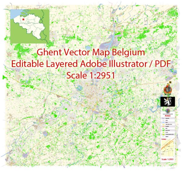
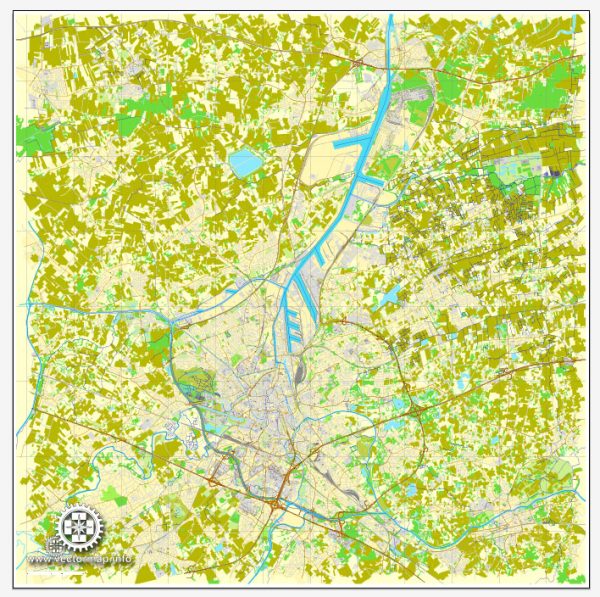
Ghent, Belgium, has a well-developed transportation system that includes various modes of transportation. Here’s a general overview of the principal transportation systems in Ghent:
- Public Transportation:
- Buses and Trams: Ghent has an extensive network of buses and trams operated by De Lijn, the regional public transportation company. These modes of transport connect different parts of the city and its suburbs.
- Cycling:
- Bike-Friendly City: Ghent is known for being a bike-friendly city. It has an extensive network of cycling paths, making it convenient for residents and visitors to travel by bike. There are also bike-sharing programs available.
- Rail Transportation:
- Train Services: Ghent is well-connected by train services. The main railway station is Gent-Sint-Pieters, which is a major transportation hub. High-speed trains, intercity trains, and regional trains connect Ghent to other Belgian cities and neighboring countries.
- Car Transportation:
- Road Network: Ghent is accessible by car, and it has a well-developed road network. The city is connected to major highways, making it easy to travel by car.
- Waterways:
- Inland Waterways: Ghent has historically been an important port city, and it is connected to the sea via the Ghent-Terneuzen Canal. While the port is more industrial, there are also recreational boat trips available along the city’s waterways.
- Taxi Services:
- Taxis: Taxis are available in Ghent and can be found at designated taxi stands or can be booked in advance.
- Walking:
- Pedestrian-Friendly Areas: Ghent’s city center is pedestrian-friendly, and walking is a popular way to explore the historic streets, squares, and landmarks.
- Park and Ride:
- P+R Facilities: Ghent encourages the use of Park and Ride (P+R) facilities located on the outskirts of the city. These facilities allow commuters to park their cars and use public transportation to enter the city center.
It’s advisable to check for any updates or changes in the transportation system, as cities often make improvements and adjustments to meet the evolving needs of residents and visitors. For the most current information, you may want to refer to local transportation authorities or official city websites.


 Author: Kirill Shrayber, Ph.D. FRGS