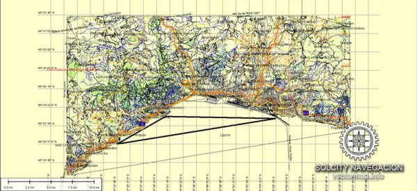
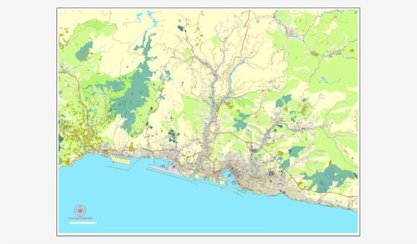
A general overview of the principal transportation system in Genoa, Italy.
**1. ** Public Transportation:
- Bus Services: Genoa has an extensive bus network operated by AMT Genova (Azienda Mobilità e Trasporti Genova). Buses cover various routes within the city and its surrounding areas.
- Metro: Genoa has a metro system known as the Genoa Metro. Line 1 connects the city from Brin to Rivarolo, serving important areas along the way.
2. Private Transportation:
- Cars: Private car usage is common in Genoa, and the city is well-connected by roads and highways. However, the historic center has narrow streets and limited parking spaces.
- Taxis: Taxis are available in Genoa and can be hailed on the street or hired at designated taxi stands.
3. Maritime Transportation:
- Port of Genoa: Genoa is a major port city, and its port is one of the largest and busiest in Italy. The port handles a significant amount of cargo traffic and is also a departure point for ferries and cruise ships.
4. Rail Transportation:
- Genoa Railway Station (Genova Piazza Principe): This is the main railway station in Genoa, providing both regional and long-distance train services. It is an important transportation hub connecting Genoa with other Italian cities.
5. Air Transportation:
- Genoa Cristoforo Colombo Airport: Located about 6 kilometers west of the city center, this airport serves as the main gateway for air travel to and from Genoa. It handles both domestic and international flights.
6. Pedestrian Areas:
- Historic Center: The historic center of Genoa is characterized by narrow streets and pedestrian zones. Walking is a popular mode of transportation in this part of the city, where you can explore the rich history and architecture on foot.
7. Biking:
- Bike Sharing: Genoa has implemented bike-sharing programs to promote sustainable transportation. Biking is a convenient way to explore the city, and there are dedicated bike lanes in some areas.


 Author: Kirill Shrayber, Ph.D. FRGS