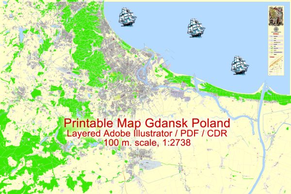
Gdańsk, located on the Baltic Sea coast in northern Poland, is a historic city with a well-developed network of streets and roads. The city is known for its picturesque Old Town, port area, and modern infrastructure. Here are some key streets and roads in Gdańsk:
- Długi Targ (Long Market): This is one of the main streets in the Old Town and is known for its colorful and historic buildings. It’s a pedestrian street with numerous shops, restaurants, and cafes.
- Mariacka Street: Famous for its cobblestone pavement and beautiful tenement houses, Mariacka Street is another charming street in the Old Town. It is particularly known for its amber shops.
- Piwna Street: A lively street in the Old Town with pubs, bars, and restaurants. It’s a popular destination for both locals and tourists.
- Targ Drzewny (Wooden Market): This square is surrounded by historic buildings and is a central point in the Old Town. It often hosts events, markets, and outdoor activities.
- Ulica Dąbrowszczaków: This street connects the Old Town with the Gdańsk Shipyard and the areas along the Martwa Wisła (Dead Vistula) river branch.
- Trakt św. Wojciecha (St. Adalbert’s Tract): This road runs along the Motława River and connects the Old Town with the Gdańsk Shipyard area.
- Droga Krajowa 7 (National Road 7): A major national road that passes through Gdańsk. It connects the city with other major Polish cities and is a part of the European route E77.
- Portowa Street: As the name suggests, this street is in the port area of Gdańsk and is crucial for the transportation of goods.
- Świętokrzyska Street: Running through the Wrzeszcz district, this street is lined with shops, businesses, and residential buildings. It’s a significant thoroughfare in this part of the city.
- Jana z Kolna Street: Located in the Przymorze district, this street is known for its residential and commercial areas.
Remember that Gdańsk has an extensive public transportation system, including buses and trams, making it easy to navigate the city. The road network is well-maintained, facilitating both local and regional travel.


 Author: Kirill Shrayber, Ph.D. FRGS