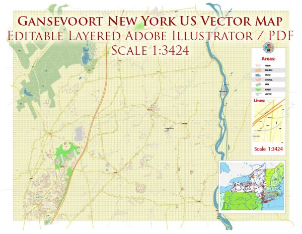
Gansevoort is a hamlet in the town of Northumberland, Saratoga County, New York. Here is a general overview:
- Route 32:
- Location: Route 32 runs through Gansevoort and is a significant road connecting the hamlet to other areas.
- Highlights: This road likely serves as a main artery for transportation and access to Gansevoort.
- Main Street:
- Location: Many hamlets have a Main Street, and Gansevoort may have its own version.
- Highlights: Main Street is often a focal point for local businesses, services, and community activities.
- Side Streets and Residential Areas:
- Gansevoort is likely to have a network of side streets and residential areas typical of a hamlet.
- These streets may include residential homes, local businesses, and community facilities.
- Local Roads:
- Gansevoort may have local roads connecting various parts of the hamlet.
- Local roads often serve as connectors between neighborhoods and provide access to different amenities.
- Railroad Tracks:
- Depending on the location, there may be railroad tracks, as historical hamlets often developed around transportation routes.
For the most accurate and up-to-date information on the streets and roads in Gansevoort, Saratoga County, you may want to reach out to local authorities such as the town’s planning department, the county government, or local community organizations.


 Author: Kirill Shrayber, Ph.D. FRGS