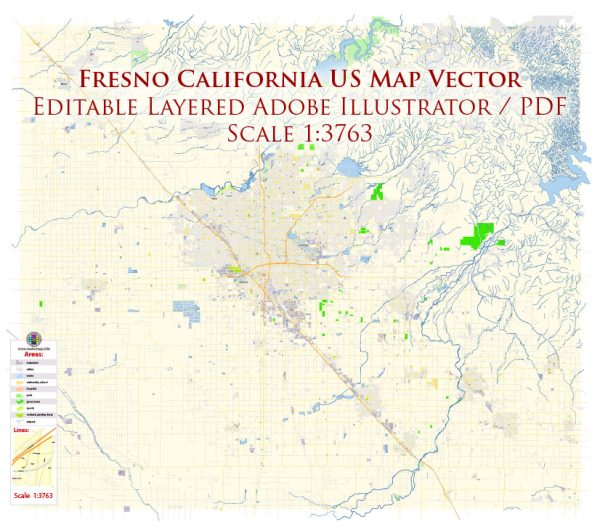
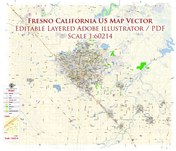
Fresno, California, is a city with a network of streets and roads that facilitate transportation and connect various neighborhoods and districts. Here are some principal streets and roads in Fresno:
- State Route 99 (SR 99): This major north-south freeway runs through Fresno, connecting it to other cities in the San Joaquin Valley, including Bakersfield to the south and Modesto to the north.
- State Route 41 (SR 41): This freeway runs north-south and provides access to Yosemite National Park to the north. It intersects with SR 99 in Fresno.
- Shaw Avenue: A major east-west thoroughfare, Shaw Avenue is lined with commercial establishments, shopping centers, and residential areas.
- Blackstone Avenue: Another important north-south artery, Blackstone Avenue is known for its retail and dining establishments. It runs parallel to SR 41 and is a key commercial corridor.
- Herndon Avenue: Running east-west, Herndon Avenue is a major road that connects various neighborhoods and commercial areas. It intersects with SR 99 in the northwest part of the city.
- Cedar Avenue: Cedar Avenue is another north-south road that intersects with Shaw Avenue. It passes through various neighborhoods and commercial districts.
- First Street and Fresno Street: These are major north-south roads that traverse through the city and are often used for local travel and access to businesses.
- Belmont Avenue: An east-west road that runs through central Fresno, Belmont Avenue connects various neighborhoods and commercial areas.
- Clinton Avenue: Another east-west thoroughfare, Clinton Avenue connects areas in the southern part of the city.
- Clovis Avenue: Clovis Avenue runs through both Fresno and the neighboring city of Clovis. It is a north-south road that intersects with Shaw Avenue.
- Ashlan Avenue: This east-west road is another important route in Fresno, connecting neighborhoods, schools, and commercial centers.
Remember that Fresno is a growing city, and new developments may lead to changes in the road network. For the most up-to-date and detailed information, it’s recommended to consult a local map or navigation system.


 Author: Kirill Shrayber, Ph.D. FRGS