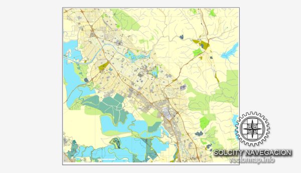
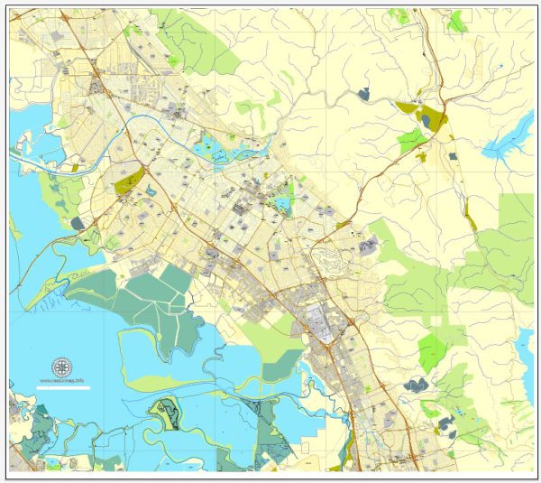
The principal transportation system in Fremont, California, consists of a network of roads, highways, public transit, and other modes of transportation. Here’s an overview of the key components:
- Roads and Highways:
- Interstate 880 (I-880): This major north-south interstate highway runs through the western part of Fremont, connecting the city with other Bay Area communities, including Oakland and San Jose.
- Mission Boulevard (SR 238): Mission Boulevard is a significant north-south state route that passes through the center of Fremont and provides access to various neighborhoods and commercial areas.
- Public Transit:
- BART (Bay Area Rapid Transit): Fremont is served by the BART system, and the Warm Springs/South Fremont BART station is a key transportation hub in the southern part of the city. BART connects Fremont to other cities in the Bay Area, including San Francisco and Oakland.
- AC Transit: AC Transit provides bus services in Fremont, offering local and regional transit options for commuters within the city and to neighboring areas.
- Fremont Bus Rapid Transit (BRT):
- The city has been working on implementing a Bus Rapid Transit system to enhance public transportation services. BRT aims to provide faster and more reliable bus service along dedicated lanes.
- Fremont Central Park Shuttle:
- Fremont operates a shuttle service within the city, including routes connecting key locations such as the BART station, City Hall, and Central Park.
- Cycling and Pedestrian Infrastructure:
- Fremont has been working on improving infrastructure for cyclists and pedestrians, including bike lanes, sidewalks, and trails. These efforts are aimed at promoting alternative and sustainable modes of transportation.
- Rideshare Services:
- Like many cities, Fremont is served by rideshare services such as Uber and Lyft, providing residents with additional transportation options.
- Major Transportation Hubs:
- The Warm Springs/South Fremont BART station is a crucial transportation hub in the southern part of the city, connecting residents to other parts of the Bay Area.
- Fremont is strategically located for access to major airports, including Oakland International Airport and San Jose International Airport.


 Author: Kirill Shrayber, Ph.D. FRGS