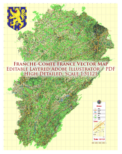
Franche-Comté was an administrative region in eastern France. However, it’s important to note that administrative divisions can change, and there have been reforms in France that may have altered the regional structure since then. The most recent reforms, as of my last update, aimed to simplify administrative divisions, reducing the number of regions.
In any case, I can provide information on the typical transportation systems found in French regions, including those that were part of Franche-Comté.
- Road Transportation:
- Highways (Autoroutes): France has an extensive network of well-maintained highways. Autoroutes connect major cities and regions, facilitating efficient travel by car.
- National and Regional Roads: These roads connect towns and cities within a region and across regions.
- Rail Transportation:
- High-Speed Trains (TGV): France is known for its high-speed train network, with TGV connecting major cities. This provides a fast and efficient means of transportation.
- Regional Trains (TER): Regional rail services, operated under the TER (Transport Express Régional) brand, connect towns and cities within a specific region.
- Air Transportation:
- Airports: Depending on the size and importance of the region, there may be airports providing domestic and international flights. However, not all regions have large airports.
- Public Transportation:
- Buses and Trams: Larger towns and cities often have well-developed bus and tram networks, providing local transportation.
- Water Transportation:
- Rivers and Canals: Some regions in France, especially those with navigable rivers and canals, may have water transportation options. However, this is more common in regions with significant waterways.
It’s recommended to check for the latest information on transportation in the specific area you are interested in, as changes may have occurred since my last update. Local transportation authorities, regional government websites, and official tourism websites are good sources for up-to-date information on transportation in any given region.


 Author: Kirill Shrayber, Ph.D. FRGS