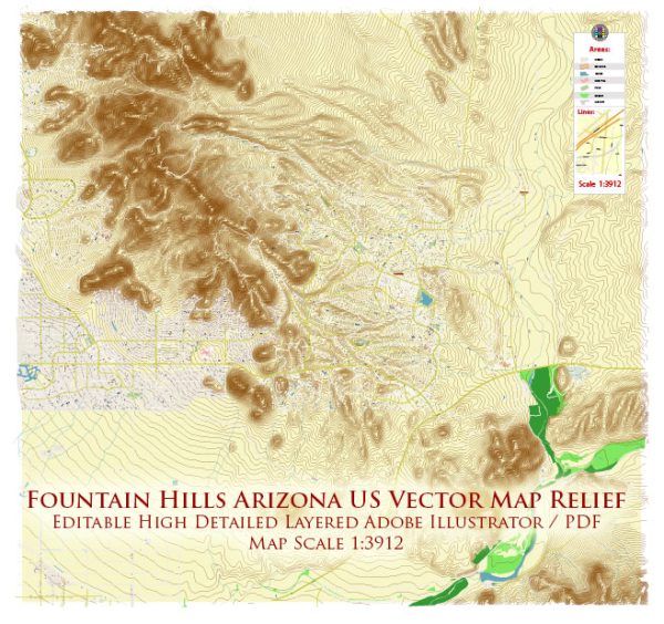
Fountain Hills, Arizona, is a town located in Maricopa County, just east of Scottsdale. Here’s a general description of the transportation system in Fountain Hills:
- Roads and Highways: Fountain Hills is primarily accessible by road. The town is connected to the broader transportation network through several major highways, including Arizona State Route 87 (Beeline Highway) and Shea Boulevard.
- Public Transportation: Public transportation options in Fountain Hills are limited compared to more urban areas. Typically, residents rely on personal vehicles for commuting. Public buses may connect Fountain Hills with neighboring communities, and Valley Metro is the regional public transportation provider.
- Airports: The nearest major airport is Phoenix Sky Harbor International Airport, located about 30 miles southwest of Fountain Hills. This airport serves as a major hub for domestic and international flights.
- Cycling and Walking: Fountain Hills may have some sidewalks and bike paths to facilitate non-motorized transportation, but the extent of these amenities may vary across different areas of the town.
- Ridesharing and Taxis: Services like Uber and Lyft may be available in Fountain Hills, providing an alternative to traditional taxi services.
- Car Ownership: Due to the suburban nature of Fountain Hills, car ownership is common, and the town is designed with a focus on private vehicle transportation.
- Future Developments: As of my last update, any future transportation developments or plans for Fountain Hills would need to be checked with the local government or transportation authorities, as changes or improvements may have occurred.
For the most accurate and up-to-date information on Fountain Hills’ transportation system, I recommend checking with local authorities, the town’s official website, or contacting transportation agencies in the region.


 Author: Kirill Shrayber, Ph.D.