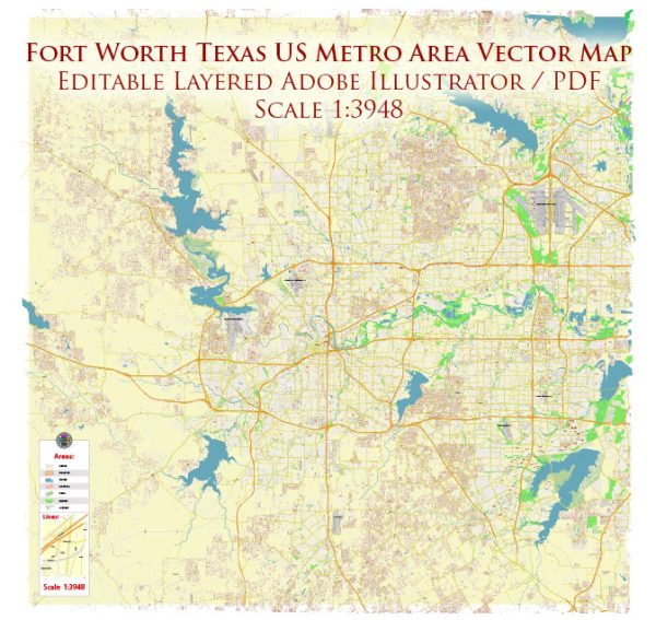
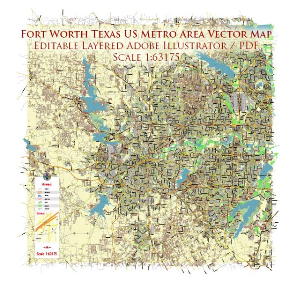
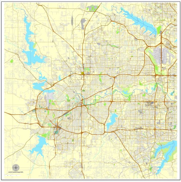
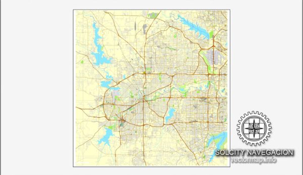
Fort Worth, Texas, is a large city with an extensive network of streets and roads. While I can’t provide real-time or the most up-to-date information, I can offer a general overview of some principal streets and roads in Fort Worth.
- Interstate 30 (I-30): Running east-west, I-30 is a major interstate highway that passes through Fort Worth, connecting the city to Dallas to the east and various other cities to the west.
- Interstate 35W (I-35W): This north-south interstate runs through Fort Worth, connecting the city to Denton to the north and Hillsboro to the south.
- Interstate 820 (I-820): Forming a partial loop around Fort Worth, I-820 connects various neighborhoods and suburbs and intersects with other major highways.
- US Highway 287 (US-287): Running northwest-southeast, US-287 connects Fort Worth to cities such as Decatur and Wichita Falls to the northwest and Waxahachie to the southeast.
- State Highway 183 (SH-183): An east-west highway, SH-183 connects Fort Worth to the Dallas/Fort Worth International Airport and Irving.
- State Highway 121 (SH-121): Running northeast-southwest, SH-121 connects Fort Worth to Grapevine and Lewisville to the northeast.
- Camp Bowie Boulevard: This major east-west thoroughfare passes through the cultural district and offers access to various neighborhoods and commercial areas.
- Hulen Street: Running north-south, Hulen Street is a significant commercial and residential corridor, providing access to shopping centers and neighborhoods.
- University Drive: Home to the Texas Christian University (TCU), University Drive is an important east-west route in Fort Worth.
- Lancaster Avenue: Connecting the downtown area to the east, Lancaster Avenue is known for its historical significance and cultural institutions.
- East Rosedale Street: Running east-west, Rosedale Street is a major artery connecting various neighborhoods and business districts.
These are just a few examples, and Fort Worth has an extensive network of streets and roads catering to different parts of the city. Road names and infrastructure may have changed, so it’s recommended to check with local maps or navigation systems for the most accurate and current information.


 Author: Kirill Shrayber, Ph.D. FRGS