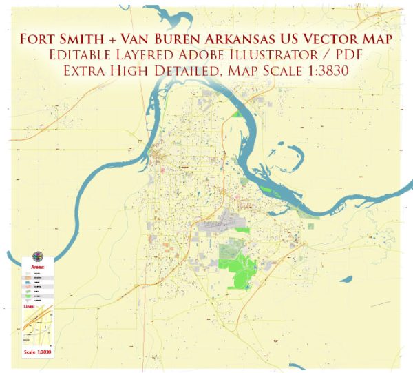
Fort Smith and Van Buren are neighboring cities in Arkansas, United States, and are part of the Fort Smith metropolitan area. Here is a brief overview of some principal streets and roads in these cities:
Fort Smith, Arkansas:
- Garrison Avenue:
- Garrison Avenue is one of the main thoroughfares in downtown Fort Smith, known for its historic buildings, shops, and restaurants.
- Rogers Avenue:
- Rogers Avenue is a major east-west road that extends across Fort Smith, featuring a mix of commercial and residential areas.
- Phoenix Avenue:
- Phoenix Avenue runs parallel to Rogers Avenue and is another important east-west route with various businesses and services.
- Towson Avenue:
- Towson Avenue is a significant north-south road, intersecting with Garrison Avenue and providing access to various neighborhoods and businesses.
- Zero Street:
- Zero Street is an east-west road in southern Fort Smith, connecting to major retail areas and residential neighborhoods.
Van Buren, Arkansas:
- Main Street:
- Main Street is a central road in downtown Van Buren, featuring historic architecture, local businesses, and cultural attractions.
- Fayetteville Road:
- Fayetteville Road is a key north-south route in Van Buren, connecting the city to Fort Smith and other surrounding areas.
- Pointer Trail:
- Pointer Trail runs east-west through Van Buren and is an important road for accessing residential neighborhoods and local amenities.
- Broadway Street:
- Broadway Street is another notable street in Van Buren, hosting a mix of residential and commercial properties.
- Alma Highway:
- Alma Highway is a major thoroughfare connecting Van Buren to Alma and other points east, passing through both residential and commercial areas.
These are just a few of the principal streets and roads in Fort Smith and Van Buren. Keep in mind that the road network may evolve, and new developments could impact the transportation landscape in these cities. For the most up-to-date and detailed information, it’s advisable to consult local maps or navigation tools.


 Author: Kirill Shrayber, Ph.D.