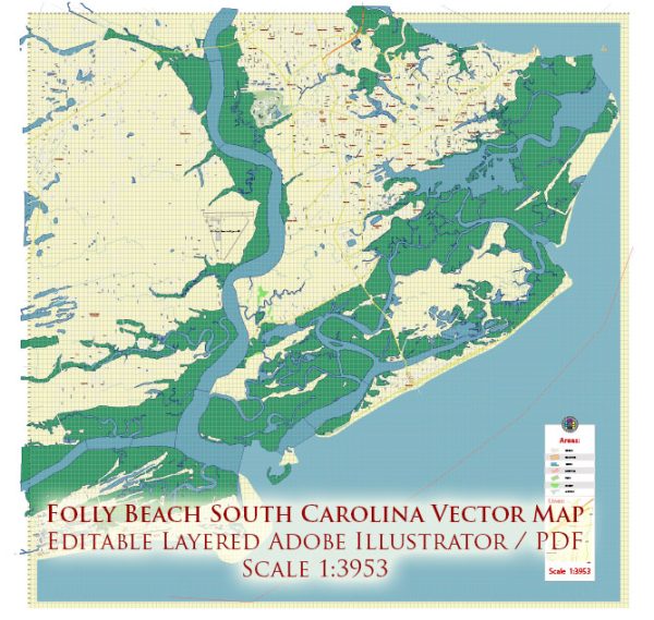
Folly Beach is a barrier island located near Charleston, South Carolina. It is a popular destination known for its laid-back atmosphere and beautiful beaches. While Folly Beach is not very large, there are some principal streets and roads that you may find useful:
- Center Street: This is the main street on Folly Beach and serves as the primary commercial area. It is lined with shops, restaurants, and bars. Center Street is where you’ll find much of the island’s activity.
- East Ashley Avenue: Running parallel to the beach, East Ashley Avenue is one of the main residential streets. Many vacation rentals and homes are located along this road, offering beachfront or near-beach access.
- West Ashley Avenue: Similar to East Ashley Avenue, West Ashley Avenue runs parallel to the beach and features residential properties. It’s a quieter area compared to the commercial district on Center Street.
- Arctic Avenue: This road intersects with Center Street and leads toward the beach. It provides access to some beachfront properties and public beach access points.
- Ashley Avenue: This street connects Folly Road (which leads to James Island and Charleston) to the beach. It’s a main thoroughfare on the island.
- Folly Road: While not on Folly Beach itself, Folly Road is the primary route to access the island. It connects Folly Beach to James Island and the greater Charleston area.
- Hurricane Deck Road: This road leads to the Folly Beach County Park, which offers amenities such as picnic areas, showers, and restrooms.
- West Cooper Avenue: Another residential street that intersects with Center Street and runs parallel to the beach.
It’s worth noting that Folly Beach is a relatively small and walkable community, and many visitors and residents prefer getting around on foot or by bike. The island has a relaxed and casual atmosphere, making it easy to explore its streets and enjoy the beachside charm.


 Author: Kirill Shrayber, Ph.D. FRGS