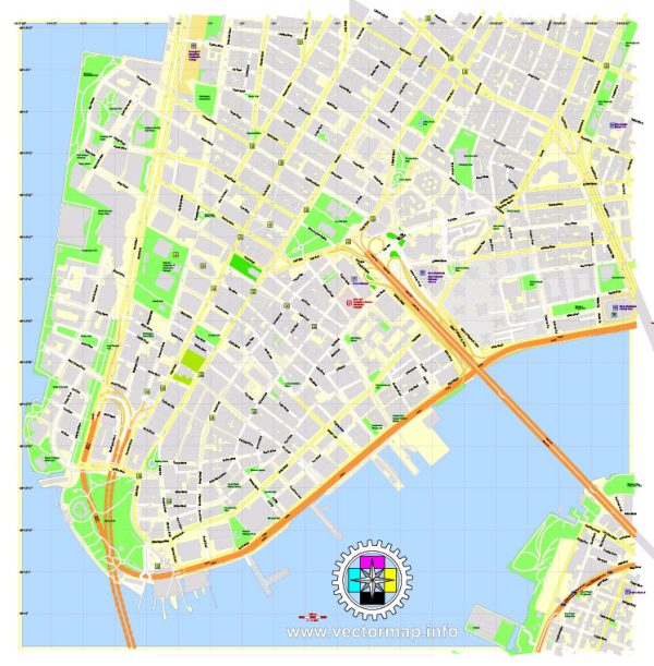
The Financial District in New York City is located at the southern tip of Manhattan and is home to some of the world’s most iconic financial institutions. The area is characterized by narrow streets, historic buildings, and a bustling atmosphere. Here are some principal streets and roads in the Financial District:
- Wall Street: Perhaps the most famous street in the Financial District, Wall Street is synonymous with the American financial industry. It is home to the New York Stock Exchange (NYSE) and the Federal Hall National Memorial.
- Broad Street: Running parallel to Wall Street, Broad Street is another important thoroughfare in the Financial District. It is known for the Charging Bull statue, a symbol of financial optimism.
- Nassau Street: This street intersects with Wall Street and is known for its historic architecture. Trinity Church, one of the oldest churches in Manhattan, is located near the intersection of Wall Street and Nassau Street.
- Water Street: Running parallel to the East River, Water Street is a major north-south street in the Financial District. It has a mix of office buildings and historic sites.
- Pearl Street: Another historic street in the area, Pearl Street is known for its cobblestone sections and is lined with historic buildings.
- Beaver Street: A smaller street in the Financial District, Beaver Street is known for its historic charm and is home to the landmark Fraunces Tavern, a historic tavern and museum.
- Stone Street: This cobblestone street is famous for its outdoor dining and historic architecture. It has a lively atmosphere, especially during the warmer months.
- Exchange Place: Located near Wall Street, Exchange Place is known for its proximity to the New York Stock Exchange and other financial institutions.
- Trinity Place: Running along the western edge of Trinity Church, Trinity Place offers views of the church and nearby landmarks.
- Bowling Green: While not a street, Bowling Green is a historic public park in the Financial District. It is home to the famous Charging Bull statue and the Alexander Hamilton U.S. Custom House.
These streets and roads collectively form the intricate network of the Financial District, contributing to its historic character and significance in the world of finance and commerce. The area is not only a financial hub but also a place rich in history and architectural landmarks.


 Author: Kirill Shrayber, Ph.D. FRGS