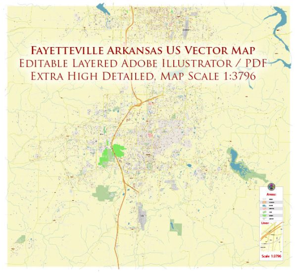
Fayetteville, Arkansas, is a city with a well-defined street grid and a mix of residential, commercial, and recreational areas. Here are some principal streets and roads in Fayetteville:
- Dickson Street: This is a vibrant street in the downtown area known for its shops, restaurants, and nightlife. It’s a popular destination for both residents and visitors.
- College Avenue: College Avenue is a major north-south thoroughfare that runs through the heart of Fayetteville. It is lined with businesses, shops, and restaurants.
- Martin Luther King Jr. Boulevard (MLK): This east-west road is an important corridor with various commercial establishments and serves as a key route for accessing the University of Arkansas campus.
- Wedington Drive: Running westward, Wedington Drive is a significant road that provides access to residential areas, shopping centers, and medical facilities.
- North Street: Located in the downtown area, North Street is close to the University of Arkansas and features a mix of residential and commercial properties.
- Garland Avenue: Garland Avenue is another key road that runs along the western edge of the University of Arkansas campus, providing access to various university facilities.
- Joyce Boulevard: This road runs east-west and connects various neighborhoods and commercial areas on the northern side of Fayetteville.
- Crossover Road: Crossover Road is a north-south road on the eastern side of Fayetteville, connecting various neighborhoods and providing access to shopping centers.
- Zion Road: Located in the southern part of the city, Zion Road serves residential and commercial areas.
- Razorback Road: This road is associated with the University of Arkansas and runs parallel to the western edge of the campus.
- Old Wire Road: Running through parts of Fayetteville, Old Wire Road has historical significance and passes through both residential and wooded areas.


 Author: Kirill Shrayber, Ph.D. FRGS