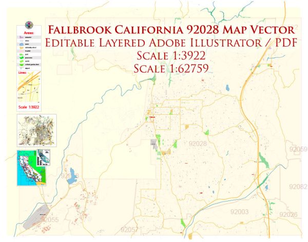
Fallbrook, California, is a community with a network of streets and roads that primarily serve its residents and visitors. Here are some principal streets and roads in and around Fallbrook:
- Main Avenue:
- Main Avenue is one of the main thoroughfares running through the heart of Fallbrook. It’s likely to be a hub for local businesses, shops, and community activities.
- Mission Road:
- Mission Road is another important road in Fallbrook. It may connect various parts of the town and provide access to amenities and neighborhoods.
- Fallbrook Street:
- Fallbrook Street is likely to be a local road connecting different areas within the town. It might offer access to residential neighborhoods and community facilities.
- East Mission Road:
- This road may run eastward from the central part of Fallbrook, providing access to different parts of the community and potentially connecting with neighboring areas.
- Live Oak Park Road:
- Live Oak Park Road is likely to lead to Live Oak Park, a central recreational area in Fallbrook. It may also provide access to nearby neighborhoods.
- Alvarado Street:
- Alvarado Street is another local road that may connect various parts of Fallbrook. It could feature residences, local businesses, or community services.
- Stage Coach Lane:
- Stage Coach Lane might be a road with historical significance, and it could lead to different parts of Fallbrook or connect with other local roads.
- Green Canyon Road:
- Green Canyon Road may lead to scenic areas or residential neighborhoods in Fallbrook, offering a glimpse of the natural beauty that surrounds the community.
Please note that road names, importance, and development can change over time. For the most accurate and up-to-date information, it’s recommended to check with local authorities or use mapping services to navigate Fallbrook.


 Author: Kirill Shrayber, Ph.D. FRGS