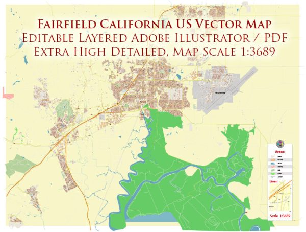
Fairfield, California, is a city located in Solano County, in the North Bay region of the San Francisco Bay Area.
- Texas Street: Texas Street is one of the main east-west thoroughfares in Fairfield. It runs through the central part of the city and connects to Interstate 80, providing access to neighboring cities.
- Travis Boulevard: Travis Boulevard is another major east-west road in Fairfield. It intersects with Interstate 80 and runs through both residential and commercial areas.
- West Texas Street: West Texas Street is a continuation of Texas Street and serves as a key route through the western part of Fairfield.
- North Texas Street: This is a section of Texas Street that runs through the northern part of Fairfield, providing access to various neighborhoods and commercial areas.
- Interstate 80: Fairfield is served by Interstate 80, a major freeway that runs east-west across the United States. It provides a crucial transportation link, connecting Fairfield to other cities in the Bay Area and beyond.
- Interstate 680: While not within the city limits, Interstate 680 is a significant freeway that is easily accessible from Fairfield, offering a route to cities like Benicia, Martinez, and beyond.
- Pennsylvania Avenue: Pennsylvania Avenue is a north-south road that intersects with Texas Street and provides access to residential areas and schools.
- Air Base Parkway: This road connects Interstate 80 to Travis Air Force Base and serves as a major transportation route in the city.


 Author: Kirill Shrayber, Ph.D. FRGS