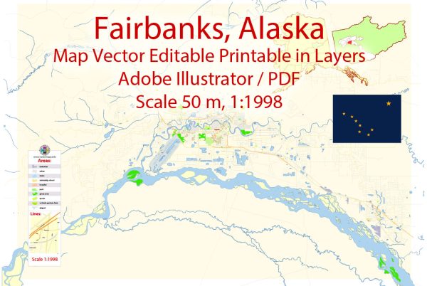
Fairbanks, Alaska, is a city located in the interior of the state and serves as a major transportation hub for the region. The principal transportation systems in Fairbanks include:
- Fairbanks International Airport (FAI): The Fairbanks International Airport is a key transportation hub for the region. It provides both domestic and limited international flights, connecting Fairbanks to major cities in Alaska, the United States, and beyond. The airport plays a crucial role in facilitating passenger travel and cargo shipments to and from the region.
- George Parks Highway (Alaska Route 3): This highway connects Fairbanks to Anchorage, the largest city in Alaska. The George Parks Highway is a major road artery in the state, providing a vital land link between the two cities. It is an essential transportation route for both residents and businesses, offering scenic views of the Alaska Range.
- Richardson Highway (Alaska Route 2): The Richardson Highway is another important roadway that connects Fairbanks to the southern part of the state, including the cities of Delta Junction and Valdez. It serves as a critical transportation route for both passengers and freight.
- Steese Highway (Alaska Route 6): The Steese Highway connects Fairbanks to the mining communities of Central and Circle. This highway is an important route for accessing resources in the interior and supporting economic activities in the region.
- Rail Transportation: While not as extensive as road and air transportation, railroads play a role in Fairbanks’ transportation system. The Alaska Railroad operates in the region, providing freight and passenger services. However, the rail network is more limited compared to other modes of transportation.
- Public Transportation: Fairbanks has a public transportation system that includes buses operated by the Fairbanks North Star Borough. The system provides services within the city and surrounding areas, offering an alternative to private vehicle transportation.
- Port of Anchorage: While Fairbanks is landlocked and doesn’t have a direct seaport, the Port of Anchorage, located approximately 360 miles away, serves as a critical gateway for maritime transportation. Goods shipped to the port can be transported to Fairbanks via road or rail.
These transportation systems collectively contribute to Fairbanks’ connectivity with other parts of Alaska and the rest of the United States, supporting the city’s economic activities, tourism, and overall development.


 Author: Kirill Shrayber, Ph.D. FRGS