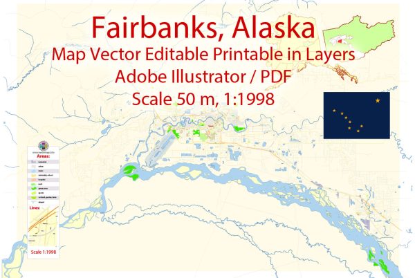
Fairbanks, Alaska, is a unique city with a road network that caters to its geographical and climatic conditions. Here is a brief description of some principal streets and roads in Fairbanks:
- Downtown Area:
- Cushman Street: One of the main streets in downtown Fairbanks, known for its shops, restaurants, and local businesses.
- Barnette Street: Runs parallel to Cushman Street and is another key downtown thoroughfare.
- Airport Way:
- This major road connects the Fairbanks International Airport to the downtown area and other parts of the city. It is a primary route for travelers coming to and from the airport.
- Parks Highway (Alaska Route 3):
- The Parks Highway is a major north-south route connecting Fairbanks to Anchorage and passing through Denali National Park. It is a scenic highway offering breathtaking views of the Alaska Range.
- Steese Highway (Alaska Route 2):
- Heading northeast out of Fairbanks, the Steese Highway is a significant route leading to communities like Fox, Circle, and Central. It provides access to the White Mountains National Recreation Area.
- University Avenue:
- Running through the University of Alaska Fairbanks campus, this road connects the university facilities and student housing.
- College Road:
- This road connects the University of Alaska Fairbanks campus to other parts of the city and provides access to residential areas, schools, and shopping centers.
- Geist Road:
- Located in the eastern part of Fairbanks, Geist Road connects residential neighborhoods and provides access to the Chena River.
- Chena Hot Springs Road:
- Heading east from Fairbanks, this road leads to the popular Chena Hot Springs Resort, known for its hot springs, aurora viewing, and outdoor activities.
- Birch Hill Recreation Area:
- Accessible via Gilmore Trail, this area is known for winter sports and recreation, including a ski resort and cross-country skiing trails.
- Old Steese Highway:
- Running parallel to the Steese Highway, the Old Steese Highway is an alternative route and offers access to various recreational areas.
Fairbanks’ road system is vital for residents and visitors alike, offering access to the city’s amenities, outdoor attractions, and the stunning landscapes of interior Alaska. Keep in mind that road conditions can vary significantly due to weather, so it’s essential to stay informed, especially during the winter months.


 Author: Kirill Shrayber, Ph.D.