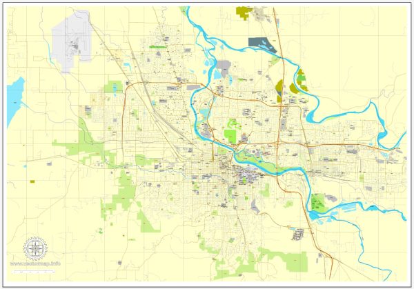
A general overview of the principal streets and roads in Eugene, Oregon. Check for the latest maps or local sources for the most up-to-date information.
Eugene is a city in Lane County, Oregon, and some of its principal streets and roads include:
- Willamette Street: Willamette Street is one of the main north-south thoroughfares in Eugene, running through the downtown area and connecting various neighborhoods.
- 7th Avenue: This east-west street is significant in downtown Eugene and intersects with several major roads.
- Coburg Road: Coburg Road is a major north-south road on the east side of Eugene, connecting the city to the nearby town of Coburg.
- High Street: High Street runs through downtown Eugene and is home to various shops, restaurants, and businesses.
- Franklin Boulevard: Franklin Boulevard is an east-west road that connects the University of Oregon campus to the downtown area.
- River Road: River Road is located in the northern part of Eugene and is a significant route for accessing residential areas and local services.
- Delta Highway: This highway runs along the northwest side of Eugene and provides a route for commuters traveling in and out of the city.
- Beltline Highway (OR-569): The Beltline is a major highway that encircles much of Eugene and provides a quick route for traveling around the city.
- 18th Avenue: 18th Avenue is another east-west street that runs through the southern part of Eugene.
- Oakway Road: Oakway Road is located in the northeast part of Eugene and is home to the Oakway Center shopping area.
Please note that this is a general overview, and the road network in Eugene may have changed or expanded since my last update. Always consult the latest local maps or navigation tools for the most accurate and current information.


 Author: Kirill Shrayber, Ph.D. FRGS