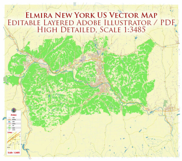
A general overview of Elmira’s principal streets and roads. Elmira is a city in Chemung County, New York, and here are some of its principal streets and roads:
- Main Street: Main Street is often a central road in many cities, and Elmira is no exception. It likely contains a mix of commercial, residential, and government buildings.
- Water Street: This street may run along the Chemung River, and you might find parks or recreational areas nearby.
- College Avenue: Elmira College is located in Elmira, and College Avenue may be a prominent road leading to or from the college campus.
- West Church Street and East Church Street: These streets may have historic significance, as Elmira has a rich history. The Mark Twain Study, for example, is located on East Church Street.
- Clemens Center Parkway: This road might lead to the Clemens Center, a performing arts center in Elmira.
- Route 17 (Future I-86): Elmira is accessible via Route 17, which is part of the Southern Tier Expressway. It’s worth noting that portions of Route 17 have been designated as Future I-86.
- Clemens Square: This might be a notable area in the city, possibly featuring parks, public spaces, or civic buildings.
- Broadway Street: This is another street that may be of significance in the city.
To get the most accurate and current information about the principal streets and roads in Elmira, consider checking with the City of Elmira’s official website, local maps, or navigation apps for the latest updates. Additionally, local residents or businesses can often provide valuable insights into the layout and importance of various streets in the area.


 Author: Kirill Shrayber, Ph.D. FRGS