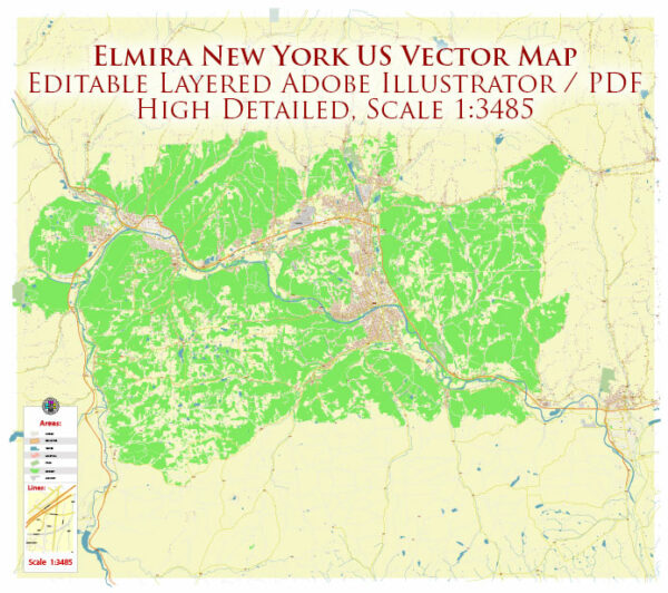
Elmira, New York, has a well-connected transportation system, primarily focusing on roads and highways. Here is a general overview:
- Roads and Highways: Elmira is accessible by several major highways, making it well-connected to other cities in the region. Interstate 86 (I-86), part of the New York State Thruway system, passes through the area, providing a crucial east-west connection.
- Public Transportation: Elmira has a limited public transportation system, primarily consisting of bus services. The Chemung County Transit System operates bus routes in and around Elmira, providing transportation within the city and to neighboring communities.
- Air Transportation: Elmira is served by the Elmira/Corning Regional Airport (ELM), which is located approximately 7 miles northwest of the city. The airport offers flights to major hubs, providing residents and visitors with air travel options.
- Rail Transportation: Elmira has a historical association with railroads, but passenger rail services are not as prominent today. Freight rail services, however, may still operate in the area for the transportation of goods.
- Cycling and Pedestrian Infrastructure: Elmira may have provisions for cycling and pedestrian infrastructure, including sidewalks and bike lanes. The extent and quality of these facilities can vary across different parts of the city.
- Port Facilities: Elmira is not a coastal city, so it does not have direct access to major port facilities. However, it may have local river or lake transportation for recreational purposes.
For the most up-to-date information on Elmira’s transportation system, including any recent developments or changes, it’s recommended to check with local transportation authorities, government websites, or recent news sources.


 Author: Kirill Shrayber, Ph.D. FRGS