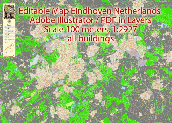
A general overview of the transportation system in Eindhoven, Netherlands.
**1. ** Bicycles: Eindhoven, like many Dutch cities, promotes cycling as a primary mode of transportation. The city has an extensive network of cycling paths and bike lanes, making it convenient and safe for residents and visitors to travel by bike.
2. Public Transportation:
- Bus Services: Eindhoven has a well-developed bus network operated by several companies, including Hermes and Arriva. Buses connect different neighborhoods within the city and provide links to surrounding areas.
- Train Services: Eindhoven is a major railway hub, and the central train station, Eindhoven Centraal, connects the city to other major cities in the Netherlands and beyond. The train station is an essential part of the city’s transportation infrastructure.
3. Car Transportation:
- Road Network: Eindhoven is well-connected by roads and highways. The road infrastructure includes motorways and major roads that facilitate the movement of cars within the city and to other parts of the Netherlands.
4. Airport:
- Eindhoven Airport: This international airport serves the region and is located just a few kilometers from the city center. Eindhoven Airport connects the city to various European destinations.
5. Shared Mobility:
- Car Sharing and Rental Services: Like many modern cities, Eindhoven has embraced shared mobility services. Car-sharing companies and rental services provide additional options for those who need occasional access to a car.
6. Walking:
- Pedestrian-Friendly Areas: The city center and many residential areas in Eindhoven are designed to be pedestrian-friendly. Walking is a popular mode of transport for short distances.
7. Smart Mobility:
- Technology Integration: Eindhoven has been exploring and implementing smart mobility solutions, including digital platforms for transportation information, smart traffic management systems, and initiatives to enhance overall transportation efficiency.
Please note that urban planning and transportation systems can evolve, and it’s advisable to check for the latest information from local sources or official city websites for any updates or changes in the transportation infrastructure in Eindhoven.


 Author: Kirill Shrayber, Ph.D. FRGS