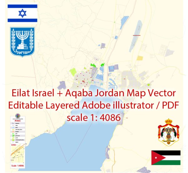
Eilat in Israel and Aqaba in Jordan are neighboring cities located at the northern tip of the Red Sea. The principal transportation systems in these cities include:
Eilat, Israel:
- Eilat Airport (IATA: ETH): Eilat has an international airport, Eilat Airport, which connects the city to various destinations within Israel and some international destinations.
- Road Transportation: Eilat is accessible by road, and there are highways connecting it to other parts of Israel. The city has a well-developed road network, and buses and taxis are common modes of local transportation.
- Port of Eilat: Eilat has a busy port, the Port of Eilat, which handles cargo and passenger ships. The port plays a crucial role in trade and transportation in the region.
Aqaba, Jordan:
- King Hussein International Airport (IATA: AQJ): Aqaba is served by King Hussein International Airport, providing domestic and international flights.
- Road Transportation: Aqaba is well-connected by road, and there are highways connecting it to other parts of Jordan. Buses and taxis are commonly used for local transportation.
- Aqaba Seaport: Aqaba has a major seaport, the Aqaba New Port, which is an essential hub for maritime trade in the region.
Shared Transportation between Eilat and Aqaba:
- Border Crossing: There is a border crossing between Eilat and Aqaba, known as the Yitzhak Rabin Border Terminal (also called the Wadi Araba Crossing or the Arava Crossing). This allows for travel between the two cities, and there are facilities for customs and immigration.
- Tourist Transportation: Given the proximity of Eilat and Aqaba and their significance as tourist destinations, there are often organized tours and transportation options for tourists traveling between the two cities.
It’s recommended to check for the latest information from official sources or travel agencies for the most up-to-date details on transportation in Eilat and Aqaba.


 Author: Kirill Shrayber, Ph.D.