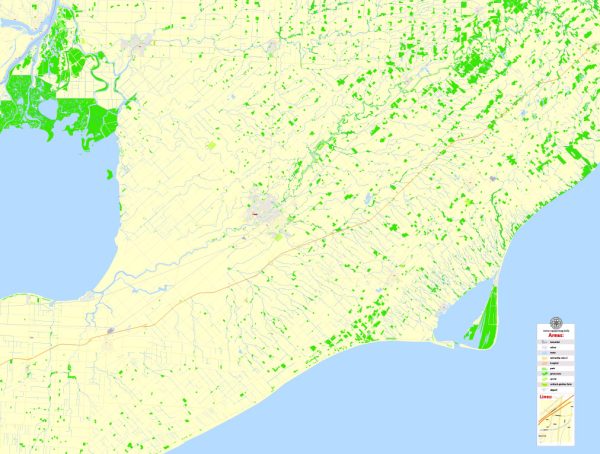
Wallaceburg, Chatham, Ontario, Canada, a general overview of the region’s cultural and urban amenities.
Chatham-Kent, which includes Wallaceburg and Chatham, is a region known for its rich history, natural beauty, and diverse cultural offerings. Here are some general features that you might find in the area:
- Historical Significance:
- Chatham-Kent has historical significance related to the Underground Railroad, as it was a key location for escaped slaves seeking freedom in Canada.
- Museums and historical sites, such as the Buxton National Historic Site & Museum, showcase the area’s role in history.
- Outdoor Recreation:
- The region is surrounded by natural beauty, with access to the Thames River and Lake Erie. Outdoor enthusiasts can enjoy activities like hiking, boating, and fishing.
- Parks and conservation areas provide opportunities for picnics, bird watching, and other recreational activities.
- Cultural Events and Festivals:
- Chatham-Kent hosts various cultural events and festivals throughout the year. These may include music festivals, art shows, and community celebrations.
- Arts and Entertainment:
- The area may have local art galleries, theaters, and performance spaces where residents and visitors can enjoy cultural performances and exhibitions.
- Local Cuisine:
- You can explore local restaurants and eateries that showcase Canadian and regional cuisine. Farmer’s markets may offer fresh, local produce and artisanal goods.
- Community Activities:
- Community centers and recreational facilities provide spaces for sports, fitness, and social gatherings.
- Education and Libraries:
- Educational institutions and public libraries contribute to the intellectual and cultural vibrancy of the community.
- Shopping and Dining:
- Chatham-Kent likely has a range of shopping options, from local boutiques to larger retail centers. Dining options may include a variety of restaurants offering diverse cuisines.
Keep in mind that the availability and diversity of amenities can vary within different neighborhoods and communities. For the most accurate and up-to-date information, consider checking local tourism websites, community centers, or contacting the municipal offices in Wallaceburg and Chatham directly.


 Author: Kirill Shrayber, Ph.D. FRGS