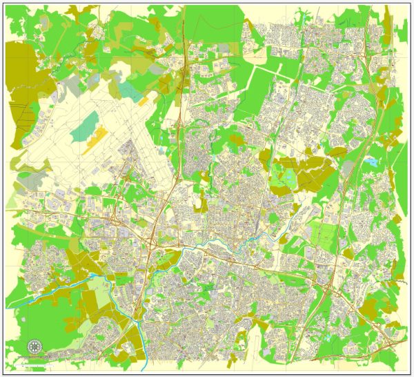
A general overview of Vantaa, Finland, including its cultural and urban amenities.
Vantaa is the fourth most populous city in Finland and is located in the southern part of the country, bordering the capital, Helsinki. Here are some aspects of Vantaa’s cultural and urban amenities:
Cultural Amenities:
- Museums:
- Vantaa Art Museum (Vantaan taidemuseo): Showcasing Finnish contemporary art.
- Finnish Aviation Museum (Suomen ilmailumuseo): Focused on the history of aviation in Finland.
- Cultural Events:
- Vantaa hosts various cultural events and festivals throughout the year. Check the local events calendar for details.
- Libraries:
- Vantaa has public libraries that serve as community hubs, providing access to literature, events, and educational resources.
- Performing Arts:
- The city may have local theaters and performing arts venues hosting plays, concerts, and other live performances.
Urban Amenities:
- Parks and Recreation:
- Vantaa offers green spaces and parks for outdoor activities. Popular parks include Kuusijärvi, where you can find nature trails and a lake.
- Shopping Centers:
- Jumbo and Myyrmanni are major shopping centers in Vantaa, providing a variety of retail options, dining, and entertainment.
- Transportation:
- Being part of the greater Helsinki metropolitan area, Vantaa benefits from efficient public transportation, including buses and trains, connecting it to Helsinki and other neighboring municipalities.
- Education:
- Vantaa provides educational facilities, including schools and possibly higher education institutions, contributing to a well-educated population.
- Sports Facilities:
- The city may have sports complexes and facilities for various sports and recreational activities.
- Cultural Diversity:
- Vantaa, like many Finnish cities, is likely to have a mix of cultures, contributing to a diverse and vibrant community.
- Housing and Urban Planning:
- Vantaa has residential areas with a mix of housing options, from apartments to single-family homes. Urban planning aims to create sustainable and livable neighborhoods.
- Healthcare Services:
- Access to healthcare facilities and services is an essential part of urban living, and Vantaa likely provides healthcare amenities for its residents.
Remember to check more recent sources for the latest information, especially if there have been new developments or changes in Vantaa’s cultural and urban landscape since my last update.


 Author: Kirill Shrayber, Ph.D. FRGS