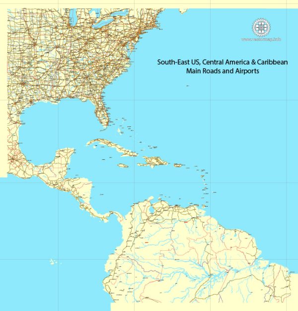
Vector Maps of the The Caribbean : region of the Americas that comprises the Caribbean Sea, its surrounding coasts, and its islands. The region lies southeast of the Gulf of Mexico and of the North American mainland, east of Central America, and north of South America.
Area: 2.754 million km²
Download royalty free, editable vector maps of Caribbean in high resolution digital PDF and Adobe Illustrator format.
Editable Map — US South East Part
An editable editable map of US South East Part designed as a dependable base for print and digital layouts. Typography spacing is tuned for quick reading on posters, brochures and reports. Coordinates and scales are prepared for sheet production and consistent exports. Bridges, tunnels and ferry lines are isolated so routes remain legible after recolor. The file accepts custom grids, legends and callouts without redrawing base content. Named layers let you restyle colors, line weights and label classes without cleanup passes.
Works well as an underlay for wayfinding, transport schemes and editorial layouts. Ideal for signage, event maps, campus leaflets and waterfront brochures. Color systems can be swapped quickly to match seasonal or brand variants. Keeps labels readable while allowing deep customization of routes and highlights. Export presets help maintain crisp strokes on both coated and uncoated paper.


 Author: Kirill Shrayber, Ph.D. FRGS