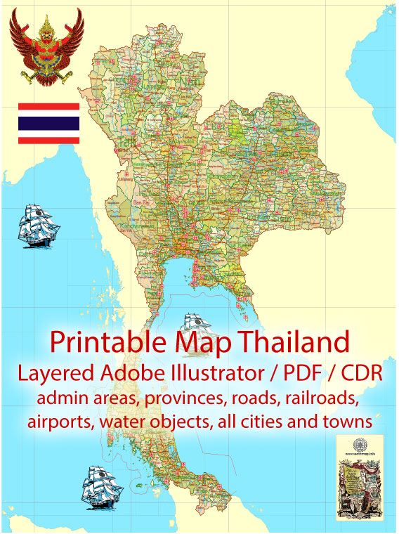
A general overview of Thailand’s water, railroad, and air transportation systems.
- Water Transportation:
- Ports and Harbors: Thailand has several major ports and harbors along its coastline, with the largest ones located in cities such as Bangkok, Laem Chabang, and Map Ta Phut. The Port of Laem Chabang, situated near Pattaya, is one of the busiest and serves as a key gateway for international trade.
- Inland Waterways: Thailand’s inland waterways, including rivers and canals, play a significant role in transportation. The Chao Phraya River, flowing through Bangkok, is a major watercourse used for cargo and passenger transport. Additionally, there is an extensive network of canals, especially in Bangkok, often referred to as the “Venice of the East.”
- Railroad Transportation:
- State Railway of Thailand (SRT): The national railway system, operated by the State Railway of Thailand, connects various regions of the country. The network spans from the northern city of Chiang Mai to the southern border with Malaysia. The trains offer different classes of service, including sleeper trains for long-distance travel.
- Bangkok Mass Transit System (BTS) and MRT: In addition to the national railway, Bangkok, the capital city, has an elevated rapid transit system (BTS Skytrain) and an underground metro system (MRT) that facilitate efficient transportation within the city.
- Air Transportation:
- Airports: Thailand has several international and domestic airports. Suvarnabhumi Airport in Bangkok is the primary international gateway, while Don Mueang International Airport, also in Bangkok, serves both domestic and regional flights. Phuket International Airport, Chiang Mai International Airport, and other airports cater to both international and domestic travel.
- Airlines: Thai Airways International is the flagship carrier, and there are also several low-cost carriers that operate within Thailand and connect it to various destinations in Asia.
- Air Traffic: Thailand’s airspace is managed by the Department of Civil Aviation (DCA). The country’s strategic location makes it a key air transit hub in Southeast Asia.


 Author: Kirill Shrayber, Ph.D. FRGS