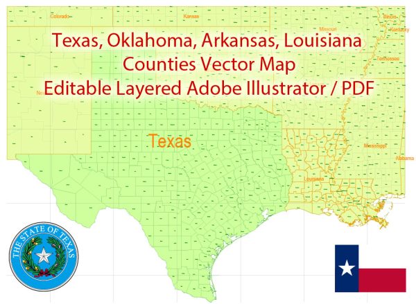
A general description of the water, railroads, and air transportation in Texas and Louisiana.
Texas:
1. Water Transportation:
- Texas has a significant network of navigable waterways, including the Gulf of Mexico, the Rio Grande, and several major rivers.
- The Port of Houston is one of the largest and busiest ports in the United States, handling a substantial amount of international and domestic cargo.
2. Railroads:
- Texas has an extensive railroad system, crucial for transporting goods across the state and connecting to other regions.
- Major railroad companies, such as Union Pacific and BNSF Railway, play a vital role in transporting freight and commodities.
3. Air Transportation:
- Texas is home to several major international airports, including Dallas/Fort Worth International Airport (DFW), George Bush Intercontinental Airport (IAH) in Houston, and Austin-Bergstrom International Airport (AUS).
- These airports serve as major hubs for both domestic and international flights, contributing significantly to air transportation in the region.
Louisiana:
1. Water Transportation:
- Louisiana is known for its extensive network of rivers, including the Mississippi River, making it a crucial hub for waterborne commerce.
- Ports like the Port of South Louisiana and the Port of New Orleans are vital for shipping agricultural, energy, and manufactured goods.
2. Railroads:
- Louisiana has a well-developed railroad infrastructure, facilitating the transportation of goods within the state and connecting to neighboring regions.
- Railroads contribute to the transportation of commodities such as petrochemicals and agricultural products.
3. Air Transportation:
- Louisiana has several airports, with Louis Armstrong New Orleans International Airport (MSY) being a major hub.
- These airports play a role in both domestic and international air travel, supporting tourism, business, and cargo transportation.


 Author: Kirill Shrayber, Ph.D. FRGS