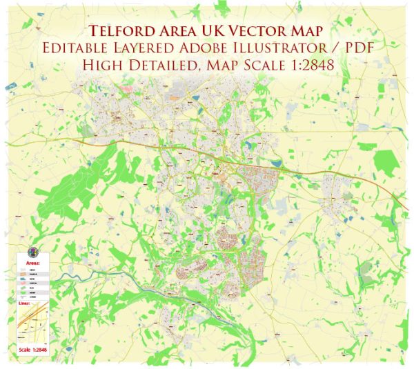
Telford is a town in the borough of Telford and Wrekin in Shropshire, England. It is a relatively modern town that was created in the 1960s and 1970s as part of a new town development initiative. Telford has a mix of industrial, residential, and recreational areas. A general overview based on the characteristics of the town.
Cultural Amenities:
- The Iron Bridge and Ironbridge Gorge: Telford is known for being close to the Iron Bridge, a UNESCO World Heritage site. The Iron Bridge and the surrounding Ironbridge Gorge are historically significant and showcase the birthplace of the Industrial Revolution.
- Telford Town Park: This large park offers recreational space, walking trails, and various events throughout the year. It’s a popular spot for families and individuals looking to enjoy outdoor activities.
- The Telford International Centre: This venue hosts various events, conferences, and exhibitions throughout the year. It contributes to the town’s cultural scene by bringing in a range of activities and entertainment.
- Oakengates Theatre: Also known as The Place, this venue hosts a variety of performances, including live theater, music, and comedy.
Urban Amenities:
- Telford Shopping Centre: This large shopping complex is a hub for retail, dining, and entertainment. It features a wide range of shops, restaurants, and a cinema, providing residents and visitors with a comprehensive shopping experience.
- Transportation: Telford is well-connected by road and rail. The M54 motorway provides easy access to the town, and Telford Central railway station offers train services to various destinations.
- Schools and Education: Telford has a number of primary and secondary schools, as well as further education institutions. The town is equipped with educational facilities to serve its population.
- Business and Industry: Telford has a history of industry and manufacturing. It is home to various businesses and industrial estates, contributing to the local economy.
- Housing: The town offers a mix of housing options, from modern developments to more traditional properties. The availability of housing caters to a diverse range of residents.
It’s advisable to check for the latest information from local sources or official websites to get the most up-to-date details on cultural and urban amenities in the Telford area.


 Author: Kirill Shrayber, Ph.D. FRGS