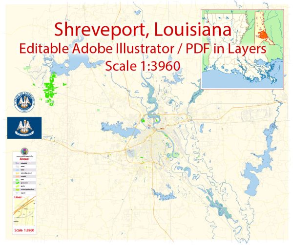
Shreveport and Bossier are neighboring cities in northwest Louisiana, USA. Here’s a general overview of water and air transportation in the Shreveport-Bossier area:
Water Transportation:
- Red River: Shreveport and Bossier City are located along the Red River, which has historically been an important waterway for transportation. While the Red River isn’t as heavily used for commercial shipping as it once was, it still plays a role in local transportation and recreation.
Air Transportation:
- Shreveport Regional Airport (SHV): Shreveport Regional Airport serves as the primary airport for the region. Located approximately 4 miles southwest of downtown Shreveport, this airport provides domestic flights and serves as a gateway for travelers in the area.
- Barksdale Air Force Base: Located in Bossier City, Barksdale Air Force Base is a significant military installation with strategic importance. While it primarily serves military purposes, it also has an impact on the local air traffic.
- Private Airports: There might be smaller private airports or airstrips in the surrounding areas for general aviation purposes.
It’s important to check for any updates or changes to transportation infrastructure and services, as developments in these areas can occur over time. For the most current and detailed information, you may want to consult local transportation authorities, airport authorities, or city websites for Shreveport and Bossier.


 Author: Kirill Shrayber, Ph.D.