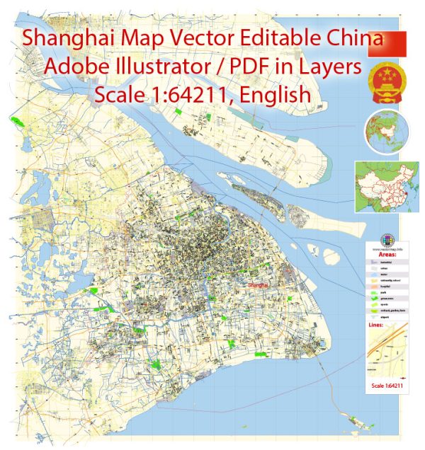
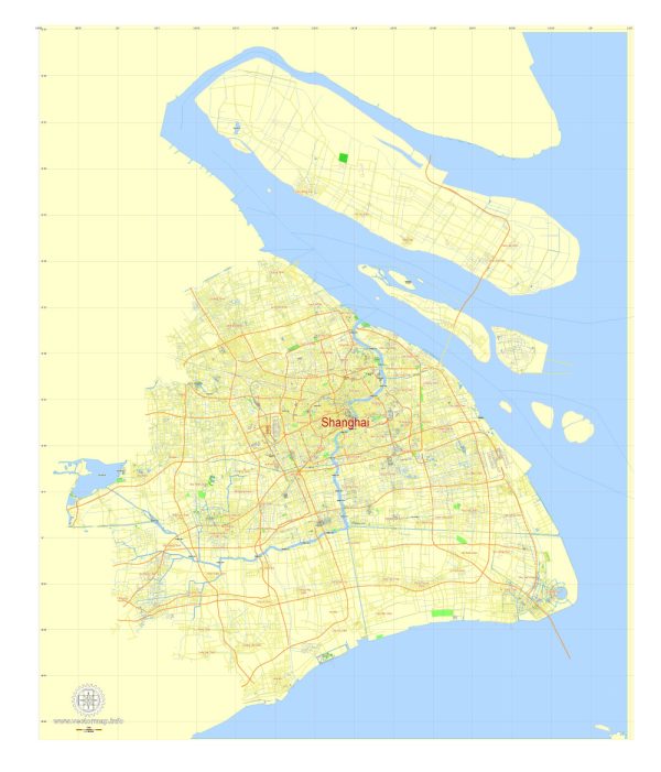
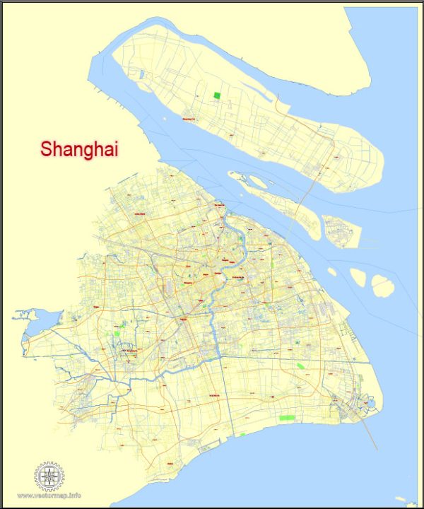
A general overview of maritime and air transportation in Shanghai, China.
Maritime Transportation: Shanghai is a major international maritime hub with one of the world’s busiest container ports, the Port of Shanghai. The port consists of several container terminals, including Yangshan Deepwater Port, Waigaoqiao Port, and Wusongkou International Cruise Terminal.
- Yangshan Deepwater Port: Located in Hangzhou Bay, Yangshan Deepwater Port is a crucial part of the Port of Shanghai. It is known for its deep draft, allowing large container ships to dock. The port is equipped with advanced facilities and plays a vital role in global trade.
- Waigaoqiao Port: This port is situated at the estuary of the Yangtze River and is a key gateway for imports and exports. It has multiple terminals handling various types of cargo, including containers, bulk cargo, and general cargo.
- Wusongkou International Cruise Terminal: Shanghai also serves as a prominent cruise destination, with Wusongkou International Cruise Terminal hosting cruise ships from various international destinations.
Air Transportation: Shanghai boasts two major international airports that contribute significantly to air transportation.
- Shanghai Pudong International Airport (PVG): This airport is one of the busiest and serves as a major hub for both domestic and international flights. Pudong Airport is well-equipped with modern facilities and is a key gateway for air cargo transportation.
- Shanghai Hongqiao International Airport (SHA): While Pudong focuses more on international flights, Hongqiao is a major domestic airport. It also handles some international flights and serves as a crucial transportation hub for the city.
Integrated Transportation Network: Shanghai has a well-developed and integrated transportation network that includes roadways, railways, and public transportation, connecting various modes of transport seamlessly. The city’s infrastructure supports efficient movement of goods and people, contributing to its status as a global economic and trade hub.
Please note that developments in transportation infrastructure and policies may have occurred since my last update, so it’s advisable to check the latest sources for the most current information.


 Author: Kirill Shrayber, Ph.D. FRGS