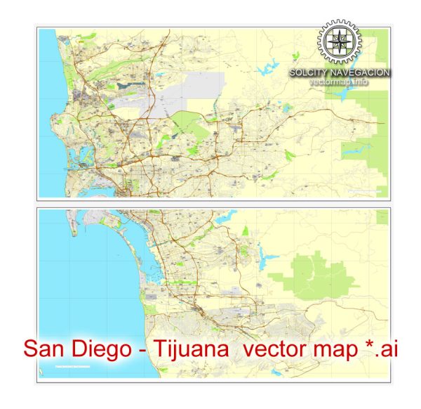
General overview of the railroads and air transportation in the San Diego, California, USA, and Tijuana, Mexico regions.
San Diego, California, USA:
Railroads: San Diego has a well-developed rail network primarily used for freight transportation. Amtrak, the national passenger rail service, operates in the region with the Pacific Surfliner route connecting San Diego to Los Angeles and other points in Southern California. Freight rail services are mainly handled by the BNSF Railway and the San Diego and Imperial Valley Railroad.
Air Transportation: San Diego International Airport (SAN) is the primary airport serving the region. It is located northwest of downtown San Diego and offers domestic and international flights. The airport has several terminals and is a hub for Southwest Airlines. It provides a range of services for both passenger and cargo flights.
Tijuana, Mexico:
Railroads: Tijuana is an important transportation hub for both passenger and freight rail services. The Ferrocarril Sonora Baja California operates freight trains in the region. Additionally, there are plans for improving rail connectivity between Tijuana and other parts of Mexico.
Air Transportation: General Abelardo L. Rodríguez International Airport (TIJ) is the main airport in Tijuana. It provides domestic and international flights, serving as a gateway to the Baja California region. The airport has seen growth in passenger traffic and has become an essential part of the cross-border travel between the United States and Mexico.
Cross-Border Transportation:
There is a significant volume of cross-border travel between San Diego and Tijuana. The San Ysidro Port of Entry, one of the busiest border crossings globally, facilitates the movement of people and goods between the two cities. Various transportation options, including buses and shuttles, connect the two cities, providing convenient cross-border travel.
Please note that developments in transportation infrastructure can occur, so it’s advisable to check the latest sources or contact relevant transportation authorities for the most current information on railroads and air transportation in the San Diego and Tijuana regions.


 Author: Kirill Shrayber, Ph.D.