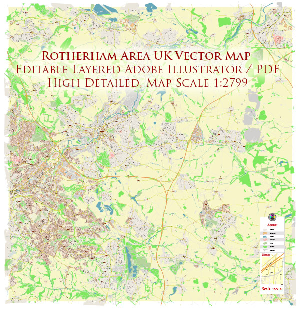
Rotherham is a town in South Yorkshire, England, with a rich industrial history. Here’s a general overview of industrial and urban amenities in the Rotherham area:
1. Industrial Heritage:
- Rotherham has a strong industrial heritage, particularly in steel production and engineering. The town played a significant role during the Industrial Revolution.
2. Steel Industry:
- Historically, Rotherham has been a major center for steel production. Tata Steel, one of the largest steel producers globally, has a presence in the area.
3. Advanced Manufacturing:
- Rotherham has been making efforts to transition towards advanced manufacturing and technology-driven industries. The Advanced Manufacturing Park (AMP) is a notable development in this regard.
4. Industrial Estates and Business Parks:
- The town has various industrial estates and business parks where a range of businesses operate. These areas often cater to manufacturing, logistics, and other industrial activities.
5. Retail and Urban Amenities:
- Rotherham town center offers a mix of retail and entertainment options, with shopping centers, restaurants, and cultural facilities.
6. Transport and Connectivity:
- Rotherham benefits from good transport links. The M1 motorway passes close by, providing easy access to other major cities in the region. The railway station connects Rotherham to Sheffield, Doncaster, and other nearby towns.
7. Education and Training:
- The town has educational institutions providing training in various fields, including engineering and technology, supporting the local workforce.
8. Green Spaces and Parks:
- Rotherham has several parks and green spaces, providing recreational areas for residents and visitors.
9. Regeneration Projects:
- Like many post-industrial towns, Rotherham has seen ongoing regeneration efforts to diversify its economy and improve urban areas. These projects aim to enhance the quality of life for residents.
10. Cultural and Historical Attractions:
- Rotherham has historical landmarks and cultural attractions, reflecting its long history. Clifton Park, Rotherham Minster, and the Magna Science Adventure Centre are some notable places.
It’s advisable to check the latest local sources or official town websites for the most recent updates on industrial developments and urban amenities in Rotherham.


 Author: Kirill Shrayber, Ph.D. FRGS