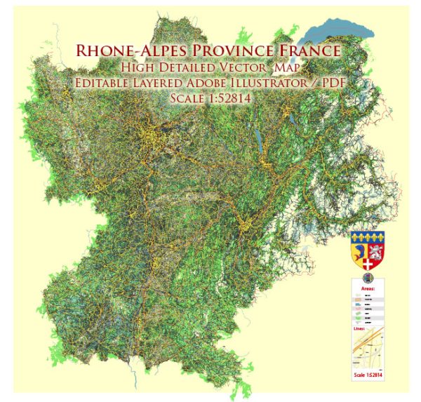
Rhône-Alpes was a former administrative region in the eastern part of France. However, please note that administrative divisions in France have been reorganized, and as of 2021, Rhône-Alpes no longer exists as a separate region. It has been merged with Auvergne to form the new region Auvergne-Rhône-Alpes.
That being said, I can provide some general information on transportation in the region based on its historical characteristics:
Water Transportation:
- Rivers: The Rhône River is a significant waterway that flows through the region. It has historically been an important route for transportation and commerce. Ports and harbors along the river facilitated the movement of goods.
Air Transportation:
- Airports: The Rhône-Alpes region, being a major economic and tourist hub, had several airports. Lyon-Saint Exupéry Airport (LYS) was one of the largest and busiest airports in the area, serving the city of Lyon and the surrounding region. Other airports included Grenoble Alpes-Isère Airport and Chambéry Airport, which are particularly popular for winter tourism due to their proximity to ski resorts.
General Transportation:
- Rail Transportation: The region had a well-developed rail network, connecting major cities and towns. High-speed train services, such as the TGV (Train à Grande Vitesse), connected Rhône-Alpes to other regions and cities across France.
- Road Transportation: An extensive network of highways and roads crisscrossed the region, making it accessible by car. The road infrastructure facilitated both local and long-distance travel.
- Public Transportation: Urban areas within the region, especially Lyon, had well-established public transportation systems, including buses, trams, and metro services. These systems were designed to ease commuting within cities.
Please note that there might have been changes or developments in transportation infrastructure since my last update, and I recommend checking more recent sources for the latest information on transportation in the Auvergne-Rhône-Alpes region.


 Author: Kirill Shrayber, Ph.D.