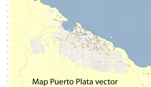
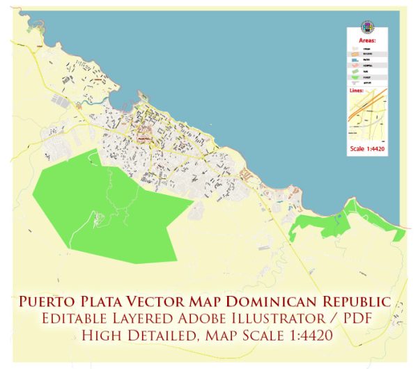
Some general information about Puerto Plata, Dominican Republic, including its business and economic development.
Puerto Plata Overview: Puerto Plata is a province on the northern coast of the Dominican Republic. It is known for its beautiful beaches, historical sites, and tourism industry. The province’s capital is also named Puerto Plata, and it serves as a major port.
Economic Sectors:
- Tourism: Puerto Plata is a popular tourist destination, attracting visitors with its beaches, water activities, and historical attractions like the Fort of San Felipe and the Amber Museum. Tourism plays a crucial role in the local economy, contributing significantly to employment and business opportunities.
- Agriculture: The region is involved in agriculture, with the cultivation of crops such as cocoa, coffee, and various fruits. Agriculture remains an important economic sector, providing livelihoods for many residents.
- Manufacturing: There is some manufacturing activity in Puerto Plata, including the production of textiles and other goods. The development of the Puerto Plata Industrial Park has aimed to attract manufacturing and processing industries to the area.
- Renewable Energy: The Dominican Republic, as a whole, has been making efforts to increase its use of renewable energy sources. Puerto Plata has seen some projects related to renewable energy, including wind and solar power.
Infrastructure Development: Investments in infrastructure play a crucial role in economic development. Improvements in transportation, energy, and communication infrastructure can enhance the business environment and attract further investment.
Challenges: While Puerto Plata has experienced economic growth, there are challenges that the region, like many others, faces. These may include issues related to infrastructure development, access to education and healthcare, and economic disparities.
Government Initiatives: The Dominican government has implemented various initiatives to promote economic development, attract foreign investment, and support local businesses. These initiatives often focus on improving the business environment, infrastructure, and education.
For the latest and more detailed information, especially regarding recent developments and changes, it is recommended to consult local news sources, government reports, and business databases. Additionally, contacting local business chambers or economic development agencies can provide insights into the current state of business and economic affairs in Puerto Plata.


 Author: Kirill Shrayber, Ph.D. FRGS