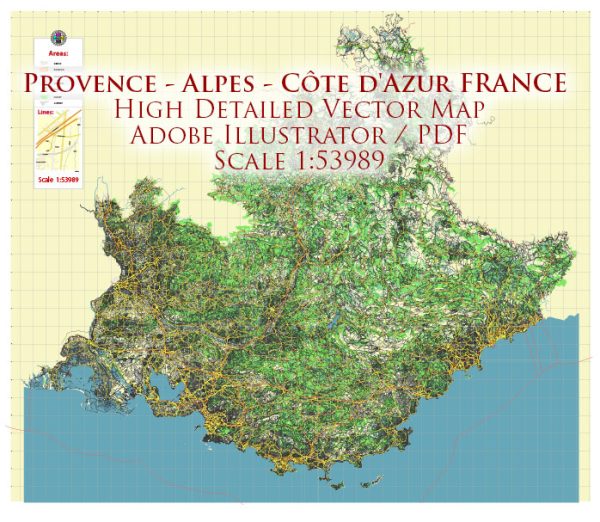
General overview of maritime and air transportation in the Provence-Alpes-Côte d’Azur (PACA) region of France.
Maritime Transportation:
Ports:
- Marseille-Fos Port: This is one of the largest and busiest seaports in France, located in Marseille. It serves as a major gateway for both cargo and passenger ships.
- Nice Port: Situated in the city of Nice, this port primarily handles passenger traffic and some cargo shipments.
- Toulon Port: Toulon is a significant naval and commercial port, handling both military and civilian maritime activities.
Ferry Services:
There are ferry services connecting ports in the PACA region to Corsica and other Mediterranean destinations. These services are essential for both passengers and freight transportation.
Air Transportation:
Airports:
- Nice Côte d’Azur Airport (NCE): This is a major international airport serving the French Riviera. It’s the third-busiest airport in France and facilitates both domestic and international flights.
- Marseille Provence Airport (MRS): Located northwest of Marseille, this airport is a key transportation hub for the region, offering domestic and international flights.
- Toulon-Hyères Airport (TLN): Serving the Var department, this airport handles both commercial and general aviation traffic.
Airlines:
Major international and domestic airlines operate flights to and from airports in the PACA region. Airlines like Air France, easyJet, and others connect these airports to various destinations.
General Aviation:
There are also smaller airports and airfields catering to general aviation and private aircraft.
Infrastructure and Connectivity:
- Road and Rail Links: The PACA region is well-connected by road and rail networks, facilitating the transportation of goods to and from ports and airports.
- Logistics and Trade: Marseille-Fos Port plays a crucial role in international trade, being a major gateway for goods entering and leaving France.
- Tourism: The airports and ports in the region play a vital role in supporting the tourism industry, as the French Riviera is a popular destination for tourists from around the world.


 Author: Kirill Shrayber, Ph.D. FRGS