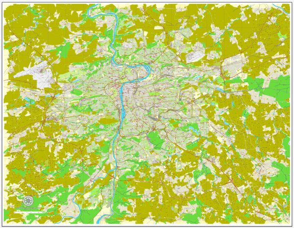
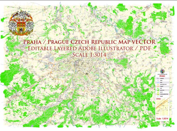
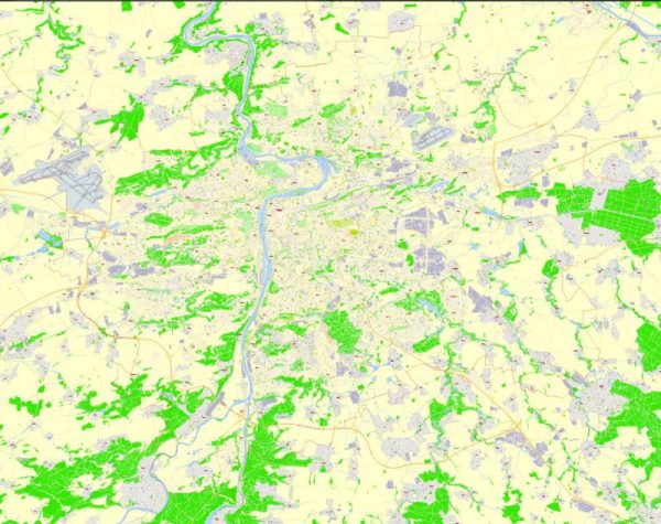
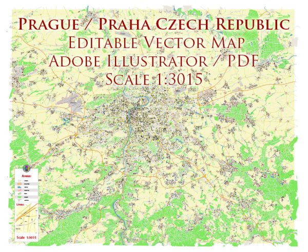
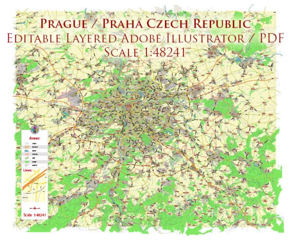
Prague, the capital city of the Czech Republic, is a landlocked city located along the Vltava River. It does not have direct access to the sea, so maritime transportation is not applicable within the city itself. However, Prague does have a well-developed public transportation system, and the Vltava River plays a significant role in the city’s history and transportation.
- Water Transportation:
- Vltava River: The Vltava River flows through the heart of Prague, dividing the city into two parts. While there may not be extensive water transportation for daily commuting, there are tourist boat cruises that operate on the Vltava River. These cruises offer a unique perspective of the cityscape, allowing visitors to enjoy Prague’s landmarks from the water. Some boats also serve as restaurants, providing dining experiences with a view.
- Air Transportation:
- Václav Havel Airport Prague (PRG): This is the main international airport serving Prague and the surrounding areas. It is located about 17 kilometers west of the city center. The airport has two main terminals (Terminal 1 and Terminal 2) and serves as a hub for Czech Airlines. It offers a wide range of flights connecting Prague to major cities around the world.
- Public Transportation:
- Metro: Prague has an efficient metro system with three lines (A, B, and C), connecting various parts of the city. The metro is a popular means of transportation for both residents and visitors.
- Trams: The city has an extensive tram network that covers most parts of Prague. Trams are a convenient way to travel within the city, providing easy access to many neighborhoods and attractions.
- Buses: The bus network complements the metro and tram systems, covering areas that may not be accessible by rail. Buses are crucial for connecting the city center with more remote suburbs.
- Funicular: Prague also has a funicular railway that connects the Lesser Town (Malá Strana) with the top of Petřín Hill, providing a scenic route and access to Petřín Gardens and the Petřín Lookout Tower.
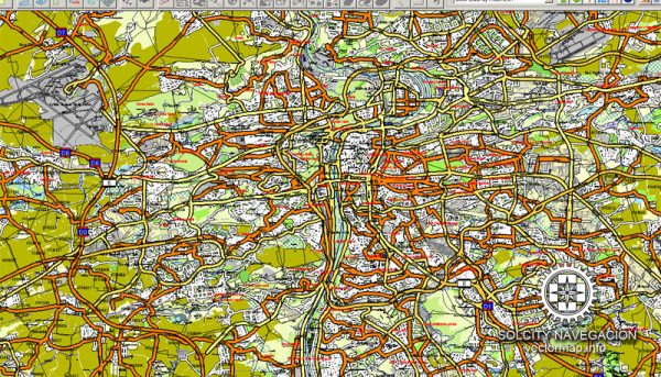
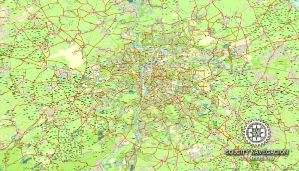
Prague’s transportation infrastructure is well-integrated, making it relatively easy to navigate the city using a combination of metro, trams, buses, and, for tourists, occasional boat cruises on the Vltava River. It’s advisable to check for any updates or changes to the transportation system.

 Author: Kirill Shrayber, Ph.D. FRGS