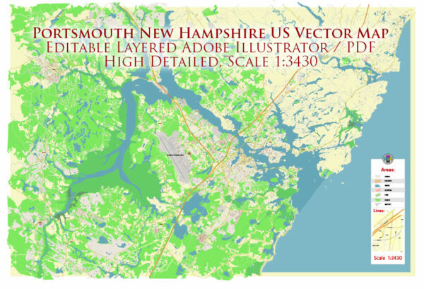
General description of water and air transportation in Portsmouth, New Hampshire, USA.
Water Transportation:
Port of New Hampshire:
Portsmouth is a historic city with a deep maritime heritage, and it has a small but significant port. The Port of New Hampshire primarily serves as a gateway for cargo and shipping activities. The port handles various goods and commodities, facilitating trade and commerce in the region.
Piscataqua River:
The Piscataqua River, which flows through Portsmouth, plays a crucial role in water transportation. It has been historically important for shipping and trade, connecting the city to the Atlantic Ocean. The river is navigable, allowing for the passage of ships, including cargo vessels and recreational boats.
Recreational Boating:
Portsmouth’s waterfront is popular for recreational boating and sailing. Marinas and yacht clubs along the river provide facilities for boat owners and enthusiasts. The city attracts sailors and boaters looking to explore the scenic coastline and nearby islands.
Air Transportation:
Portsmouth International Airport at Pease (PSM):
Portsmouth has its own airport, Portsmouth International Airport at Pease (PSM), located within the Pease International Tradeport. The airport serves as a gateway for both commercial and general aviation. It provides convenient access to the region and is equipped with facilities for passenger flights, cargo operations, and general aviation services.
Airlines and Destinations:
Portsmouth International Airport at Pease is served by various airlines, offering flights to domestic and possibly international destinations. Airlines may change, and new routes may be added, so it’s advisable to check the latest information for specific carriers and destinations.
General Aviation:
In addition to commercial flights, Portsmouth International Airport supports general aviation activities. It has facilities for private and corporate aircraft, including hangars, maintenance services, and fueling stations.
For the most accurate and current information, it’s recommended to check with relevant local authorities, transportation agencies, and official sources.


 Author: Kirill Shrayber, Ph.D. FRGS