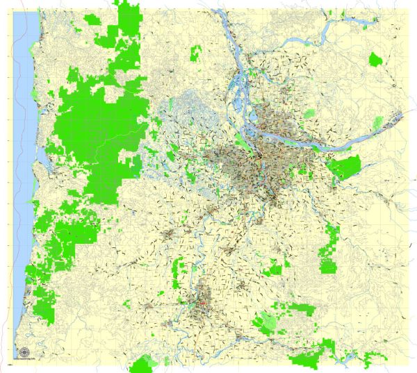
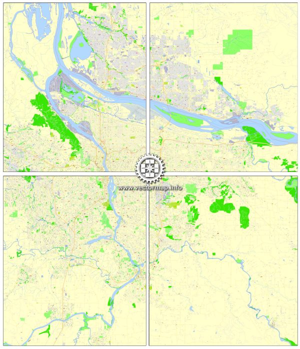
General overview of water and air transportation in the Portland metropolitan area, including Vancouver, Oregon City, and Salem in Oregon, USA.
Water Transportation:
- Columbia River:
- The Columbia River is a significant waterway in the region, and both Portland and Vancouver are situated along its banks.
- The river is navigable, and there are ports and terminals for cargo shipping and recreational boating.
- Port of Portland:
- The Port of Portland is a major seaport handling both containerized and bulk cargo.
- It facilitates international trade and is a key player in the transportation of goods to and from the Pacific Northwest.
- Willamette River:
- The Willamette River flows through Portland and is another important waterway.
- Various boat tours and recreational activities take place on the river, contributing to tourism.
Air Transportation:
- Portland International Airport (PDX):
- PDX is the primary airport serving the Portland metropolitan area.
- It’s a major hub for both domestic and international flights, connecting the region to various destinations.
- Vancouver International Airport (YVR):
- While Vancouver, Washington, is not a large city, it is in close proximity to Vancouver, Canada, which has Vancouver International Airport (YVR). Residents in the area may use this airport for international travel.
Other Considerations:
- Public Transportation:
- Both Portland and Vancouver have public transportation systems, including buses and light rail, that connect various parts of the cities.
- Air Quality and Environmental Concerns:
- Like many urban areas, air quality can be influenced by factors such as traffic and industrial activities. The cities in the region often work towards improving air quality and sustainability.
- Water Quality:
- Efforts are made to maintain water quality in the rivers, especially in the context of the Columbia and Willamette rivers.
For the most up-to-date and detailed information, it is recommended to check with local transportation authorities, airports, and relevant city or state agencies, as infrastructure and services can evolve over time.


 Author: Kirill Shrayber, Ph.D. FRGS